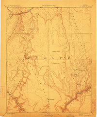
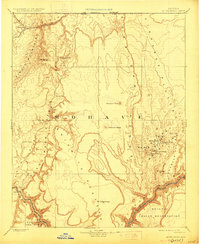
1892 Map of Mt. Trumbull
USGS Topo · Published 1913About this map
The Powell Survey conducted the original triangulation of this high desert terrain in Mohave, documenting the verticality of the Arizona Strip decades before the modern road system. The landscape is defined by massive geologic steps, descending from the Uinkaret Plateau and Shiwmits Plateau toward the deep incision of the Grand Canyon and the Colorado River. In an era when water source locations were essential for survival and livestock, this survey meticulously plots remote desert oases such as Pakoon Spring, Trumbull Spring, and the isolated Witch Pool. Named peaks including Mt Trumbull and Mt Logan rise above the Toroweap Valley, while the western boundary is marked by the steep drop of the Grand Wash Cliffs and the course of the Virgin River near Beaverdam R.
Find a feature on this map
27 named features on this map. Tap any name to fly to it.
Don’t see what you’re looking for? This feature index may not catch every label — zoom into the map to look around manually.
Map Details
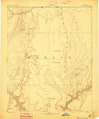
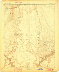
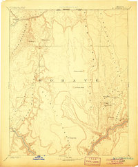
Editions of this 1892 Mt. Trumbull Map
6 editions found

Other maps of this area

1885 · St. George
USGS Topo · 1:250,000

1885 · Pioche
USGS Topo · 1:250,000

1886 · Diamond Creek
USGS Topo · 1:250,000

1886 · Camp Mohave
USGS Topo · 1:250,000

1886 · Kanab
USGS Topo · 1:250,000

1886 · Saint Thomas
USGS Topo · 1:250,000

1886 · Mt. Trumbull
USGS Topo · 1:250,000

1886 · Chino
USGS Topo · 1:250,000

1886 · Pioche
USGS Topo · 1:250,000

1886 · Kaibab
USGS Topo · 1:250,000