
1892 Map of Mt. Trumbull
USGS Topo · Published 1892About this map
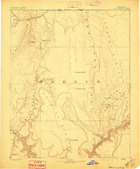
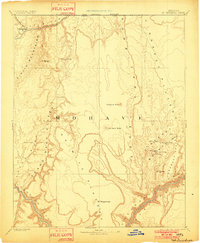
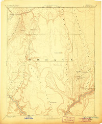
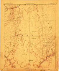
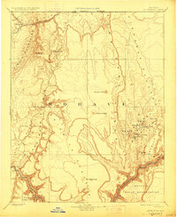
The Grand Canyon of the Colorado River defines the southern edge of this early survey, where the river winds through deep topographic contours beneath the Shiwits Plateau. Recorded by the Powell Survey just before the turn of the century, the landscape is marked by essential water sources for travelers and livestock, including Trumbull Spring, Pakoon Spring, and Cane Spring. The presence of Pierce Ferry on the Colorado River highlights a critical crossing point in this northwestern corner of Mohave county. To the east, the volcanic peaks of the Uinkaret Plateau rise, featuring Mt Trumbull and Mt Logan. The map illustrates a dramatic vertical world where the Hurricane Ledge and Wash Cliffs create massive natural barriers between the high desert plateaus and the deep drainages of Grand Wash.
Find a feature on this map
28 named features on this map. Tap any name to fly to it.
Don’t see what you’re looking for? This feature index may not catch every label — zoom into the map to look around manually.
Map Details
Editions of this 1892 Mt. Trumbull Map
6 editions found
Other maps of this area

1885 · St. George
USGS Topo · 1:250,000

1885 · Pioche
USGS Topo · 1:250,000

1886 · Diamond Creek
USGS Topo · 1:250,000

1886 · Camp Mohave
USGS Topo · 1:250,000

1886 · Kanab
USGS Topo · 1:250,000

1886 · Saint Thomas
USGS Topo · 1:250,000

1886 · Mt. Trumbull
USGS Topo · 1:250,000

1886 · Chino
USGS Topo · 1:250,000

1886 · Pioche
USGS Topo · 1:250,000

1886 · Kaibab
USGS Topo · 1:250,000