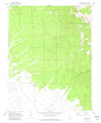
1970 Map of Mt. Wilson
USGS Topo · Published 1982About this map
Mount Wilson dominates the northeastern corner of this high-desert survey, where the peaks drop sharply into the broad expanse of Lake Valley. The 1970 landscape is defined by its water sources, with numerous springs such as Motley Spring, Quartz Spring, and Eagle Spring serving as vital landmarks for navigation and survival in Lincoln County. These watering points are connected by a network of primitive routes, including several stretches labeled as Jeep Trail, reflecting the area's remote and utilitarian nature.
Find a feature on this map
19 named features on this map. Tap any name to fly to it.
Don’t see what you’re looking for? This feature index may not catch every label — zoom into the map to look around manually.
Map Details
Editions of this 1970 Mt. Wilson Map
2 editions found
Other maps of this area

1915 · Bristol Range
USGS Topo · 1:62,500

1917 · Bristol Range
USGS Topo · 1:62,500

1953 · Bristol Range SE
USGS Topo · 1:24,000

1956 · Lund
USGS Topo · 1:250,000

1960 · Lund
USGS Topo · 1:250,000
1970 · Mt. Wilson SW
USGS Topo · 1:24,000
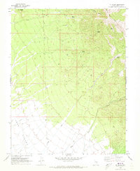
1970 · Mt. Wilson
USGS Topo · 1:24,000

1970 · Pierson Summit
USGS Topo · 1:24,000

1970 · Parsnip Peak
USGS Topo · 1:24,000
1971 · Bristol Range NE
USGS Topo · 1:24,000