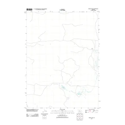
2011 Map of Mudd Lake
USGS Topo · Published 2011About this map
Wild Horse Creek meanders through this portion of Logan County, shaping a landscape defined by isolated water bodies and rural outposts. The hydrology is centered on Mudd Lake and Philpott Lake, which sit south of Dunning Rd. This 2011 survey captures the sparse settlement patterns typical of the Nebraska Sandhills, where large landholdings like Rogers Ranch serve as primary landmarks. The road network is limited to unpaved tracks and a few graded routes, reflecting the region's enduring character as a low-density ranching environment. For those studying the evolution of Nebraska's rural land use, this map provides a precise look at the drainage patterns and property locations within this specific quadrangle.
Find a feature on this map
5 named features on this map. Tap any name to fly to it.
Don’t see what you’re looking for? This feature index may not catch every label — zoom into the map to look around manually.
Map Details
Editions of this 2011 Mudd Lake Map
This is the sole edition of this map. No revisions or reprints were ever made.
Other maps of this area

1948 · Thedford
USGS Topo · 1:62,500

1948 · Halsey
USGS Topo · 1:62,500

1949 · Cody Lake
USGS Topo · 1:62,500

1950 · Thedford
USGS Topo · 1:62,500

1950 · Halsey
USGS Topo · 1:62,500

1951 · Cody Lake
USGS Topo · 1:62,500

1951 · Hoagland
USGS Topo · 1:62,500

1954 · North Platte
USGS Topo · 1:250,000

1956 · North Platte
USGS Topo · 1:250,000

1957 · North Platte
USGS Topo · 1:250,000