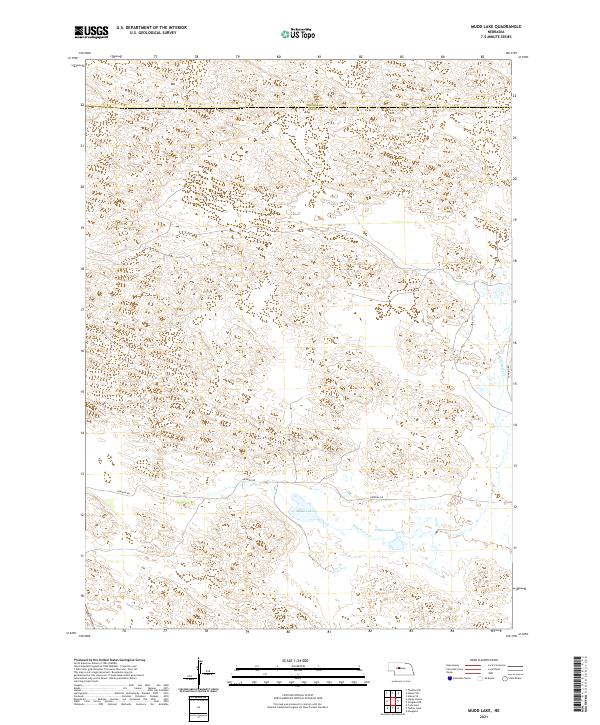
2021 Map of Mudd Lake
USGS Topo · Published 2021About this map
The boundary between Thomas Co and Logan Co bisects a landscape defined by wind-sculpted sand hills and isolated water bodies in central Nebraska. This remote section of the Sandhills region is characterized by a sparse road network and an absence of concentrated settlements, with the winding Dunning Rd serving as the primary corridor through the southern reaches. This modern survey illustrates how water remains the focal point of the local geography, anchoring the few named features in a land otherwise dominated by topographic undulations.
Find a feature on this map
12 named features on this map. Tap any name to fly to it.
Don’t see what you’re looking for? This feature index may not catch every label — zoom into the map to look around manually.
Map Details
Editions of this 2021 Mudd Lake Map
This is the sole edition of this map. No revisions or reprints were ever made.
Other maps of this area

1948 · Thedford
USGS Topo · 1:62,500

1948 · Halsey
USGS Topo · 1:62,500

1949 · Cody Lake
USGS Topo · 1:62,500

1950 · Thedford
USGS Topo · 1:62,500

1950 · Halsey
USGS Topo · 1:62,500

1951 · Cody Lake
USGS Topo · 1:62,500

1951 · Hoagland
USGS Topo · 1:62,500

1954 · North Platte
USGS Topo · 1:250,000

1956 · North Platte
USGS Topo · 1:250,000

1957 · North Platte
USGS Topo · 1:250,000