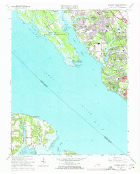
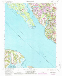
1965 Map of Mulberry Island
USGS Topo · Published 1974About this map
Fort Eustis Military Reservation and the surrounding coastal neck define this mid-1960s landscape between the James River and the Warwick River. The era's suburban expansion is evident in the established neighborhoods of Warwick Lawns, Boxley Hills, and Hidenwood, while the northern reaches maintain older institutional footprints like the Prison Farm and the Sanford Sch. The Chesapeake and Ohio railroad corridor serves as a backbone for industrial and transit growth, linking Oyster Point and Denbigh to the wider Hampton Roads region.
Find a feature on this map
66 named features on this map. Tap any name to fly to it.
Don’t see what you’re looking for? This feature index may not catch every label — zoom into the map to look around manually.
Map Details
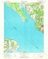
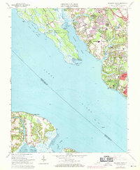
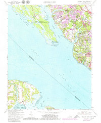
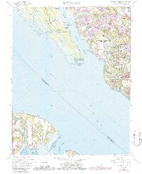
Editions of this 1965 Mulberry Island Map
6 editions found
Other maps of this area

1907 · Norfolk
USGS Topo · 1:125,000

1907 · Yorktown
USGS Topo · 1:62,500

1907 · Hampton
USGS Topo · 1:62,500

1919 · Smithfield
USGS Topo · 1:62,500

1921 · Newport News
USGS Topo · 1:62,500

1943 · Yorktown
USGS Topo · 1:62,500

1943 · Richmond
USGS Topo · 1:250,000

1944 · Yorktown
USGS Topo · 1:24,000

1944 · Morrison
USGS Topo · 1:24,000

1944 · Harris Grove
USGS Topo · 1:24,000