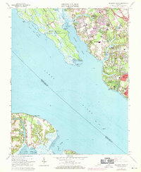
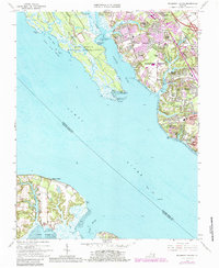
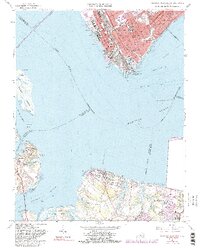
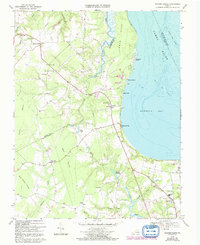
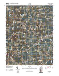
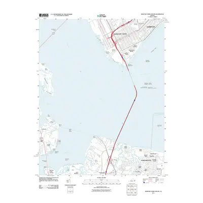
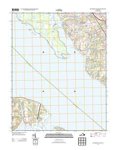
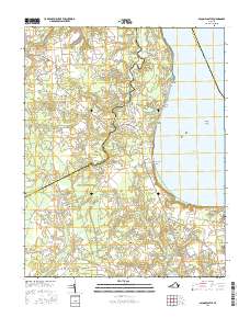
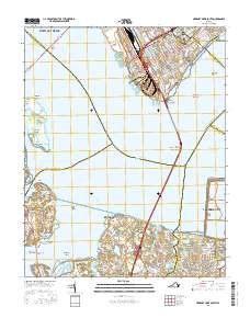
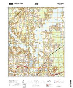
1965 Map of Mulberry Island
USGS Topo · Published 1971About this map
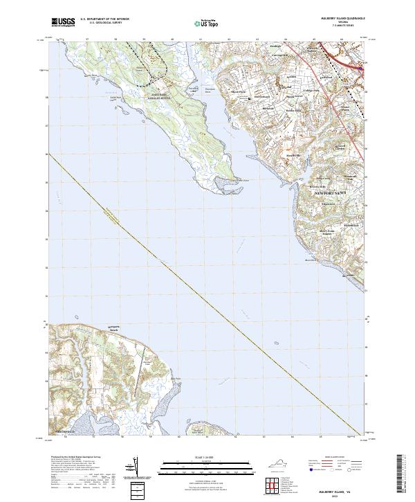
Mulberry Island and the expansive Fort Eustis Military Reservation dominate the western portion of this mid-1960s study, where the Warwick River separates military lands from the suburbanizing tracts of Newport News. The eastern shore of the James River shows a landscape in transition, where old landings and landmarks like the Mammoth Oak sit alongside growing developments such as Hidenwood, Beverly Hills, and Riverside. Inland, the path of the Chesapeake and Ohio railroad corridor anchors established community nodes like Denbigh and Oyster Point.
Find a feature on this map
62 named features on this map. Tap any name to fly to it.
Don’t see what you’re looking for? This feature index may not catch every label — zoom into the map to look around manually.
Map Details
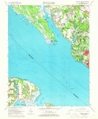
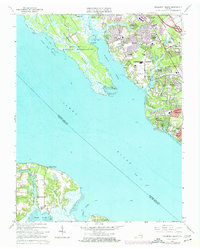
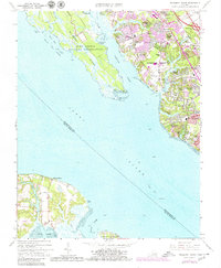
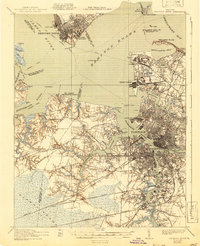
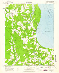
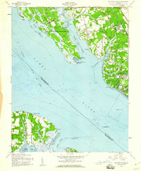
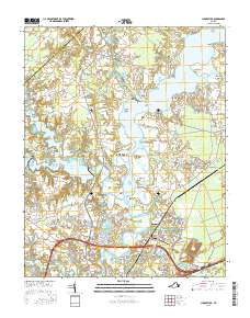
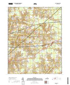
Editions of this 1965 Mulberry Island Map
6 editions found
Historical Maps of Smithfield Through Time
57 maps found
1921 Newport News
Isle of Wight County, VA

1944 Raynor
Isle of Wight County, VA

1944 Zuni
Isle of Wight County, VA

1945 Raynor
Isle of Wight County, VA

1945 Zuni
Isle of Wight County, VA

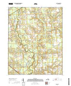
1948 Bacons Castle
Isle of Wight County, VA

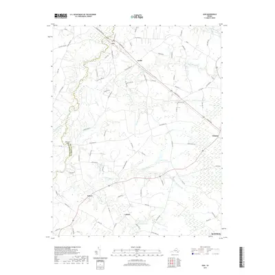
1949 Chuckatuck
Isle of Wight County, VA

1950 Blackstone
Isle of Wight County, VA

1950 Mulberry Island
Isle of Wight County, VA

1951 Blackstone
Isle of Wight County, VA

1952 Newport News
Isle of Wight County, VA

1955 Newport News
Isle of Wight County, VA
1957 Bacons Castle
Isle of Wight County, VA
1957 Mulberry Island
Isle of Wight County, VA
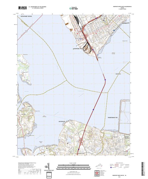
1964 Newport News South
Isle of Wight County, VA
1965 Chuckatuck
Isle of Wight County, VA
1965 Mulberry Island
Isle of Wight County, VA
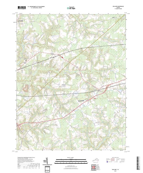
1967 Holland
Isle of Wight County, VA

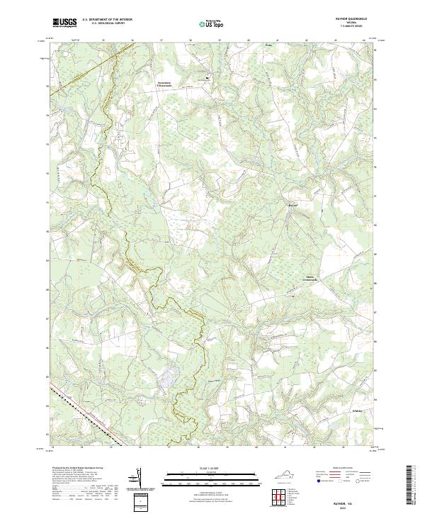
1968 Raynor
Isle of Wight County, VA
1969 Bacons Castle
Isle of Wight County, VA
1969 Zuni
Isle of Wight County, VA

1994 Newport News South
Isle of Wight County, VA
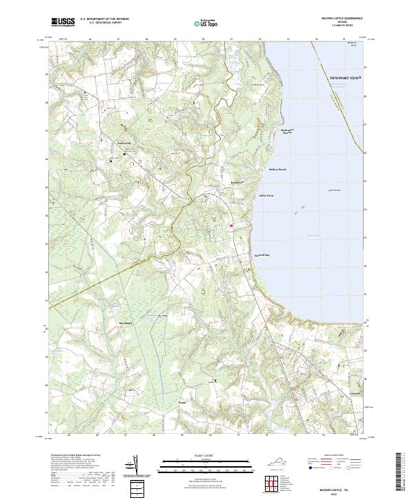
2010 Bacons Castle
Isle of Wight County, VA
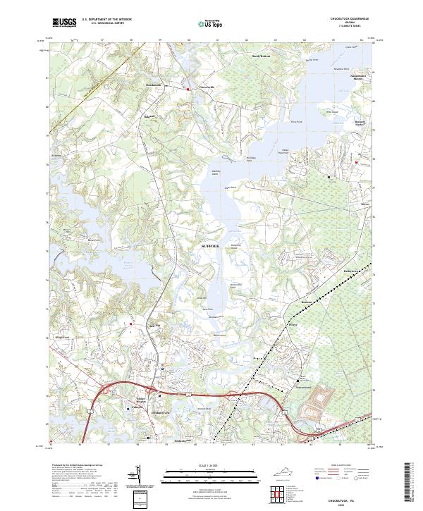
2010 Chuckatuck
Isle of Wight County, VA
2010 Holland
Isle of Wight County, VA
2010 Raynor
Isle of Wight County, VA
2010 Zuni
Isle of Wight County, VA
2011 Mulberry Island
Isle of Wight County, VA
2011 Newport News South
Isle of Wight County, VA
2013 Bacons Castle
Isle of Wight County, VA
2013 Chuckatuck
Isle of Wight County, VA
2013 Holland
Isle of Wight County, VA
2013 Mulberry Island
Isle of Wight County, VA
2013 Newport News South
Isle of Wight County, VA
2013 Raynor
Isle of Wight County, VA
2013 Zuni
Isle of Wight County, VA
2016 Bacons Castle
Isle of Wight County, VA
2016 Chuckatuck
Isle of Wight County, VA
2016 Holland
Isle of Wight County, VA
2016 Mulberry Island
Isle of Wight County, VA
2016 Newport News South
Isle of Wight County, VA
2016 Raynor
Isle of Wight County, VA
2016 Zuni
Isle of Wight County, VA
2019 Bacons Castle
Isle of Wight County, VA
2019 Chuckatuck
Isle of Wight County, VA
2019 Holland
Isle of Wight County, VA
2019 Mulberry Island
Isle of Wight County, VA
2019 Newport News South
Isle of Wight County, VA
2019 Raynor
Isle of Wight County, VA
2019 Zuni
Isle of Wight County, VA
2022 Bacons Castle
Isle of Wight County, VA
2022 Chuckatuck
Isle of Wight County, VA
2022 Holland
Isle of Wight County, VA
2022 Mulberry Island
Isle of Wight County, VA
2022 Newport News South
Isle of Wight County, VA
2022 Raynor
Isle of Wight County, VA

2022 Zuni
Isle of Wight County, VA