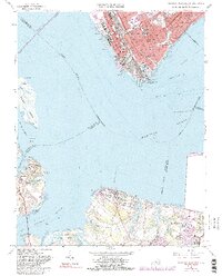
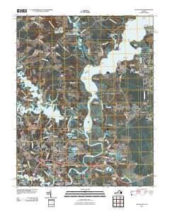
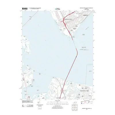
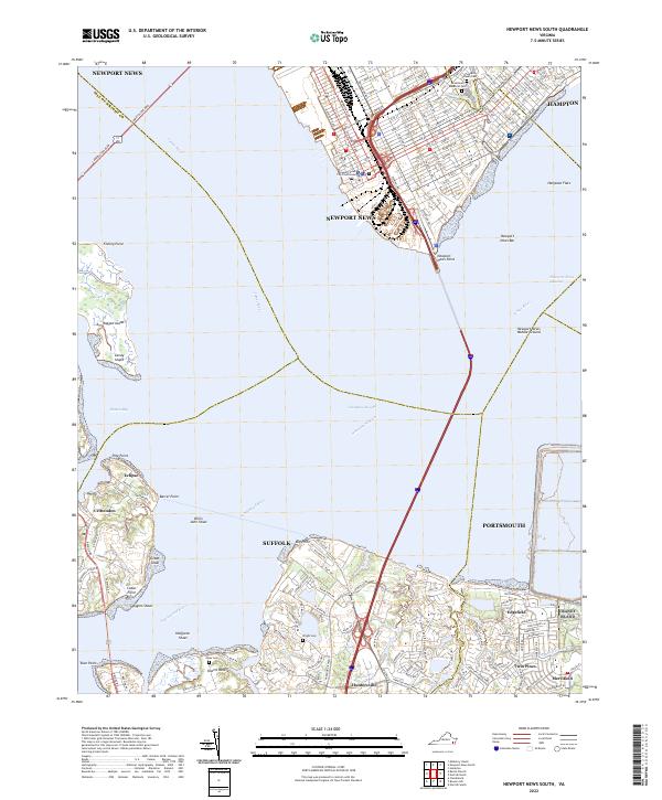
1964 Map of Newport News South
USGS Topo · Published 1991About this map
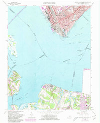
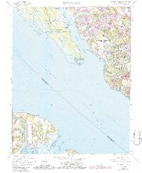
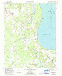
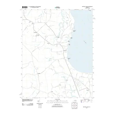
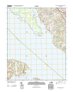
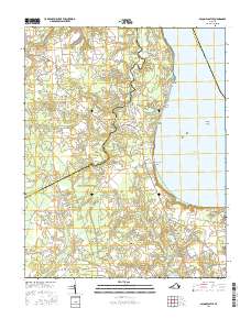
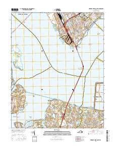
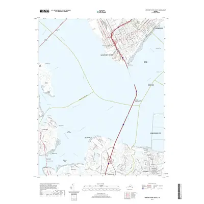
Industrial shipyards and maritime commerce dominate the shoreline where the James River meets the expansive waters of Hampton Roads. In Newport News, the extensive operations of the Chesapeake and Ohio railroad and numerous Shipways and Drydocks define the waterfront, supporting a dense urban grid filled with institutions like the Virginia School for the Deaf and Blind and Huntington High Sch. Across the water, the landscape shifts to the more rural and coastal character of Suffolk and the Isle of Wight, where smaller communities such as Eclipse and Crittenden are situated near the mouth of the Nansemond River. The inclusion of Tidewater Community College on the southern shore highlights the mid-century institutional expansion in the region, while landmarks like Greenlawn Cemetery and Ames Cem provide essential reference points for those researching local family histories in this Tidewater hub.
Find a feature on this map
78 named features on this map. Tap any name to fly to it.
Don’t see what you’re looking for? This feature index may not catch every label — zoom into the map to look around manually.
Map Details
Editions of this 1964 Newport News South Map
7 editions found
Historical Maps of Newport News Through Time
57 maps found
1921 Newport News
Isle of Wight County, VA

1944 Raynor
Isle of Wight County, VA

1944 Zuni
Isle of Wight County, VA

1945 Raynor
Isle of Wight County, VA

1945 Zuni
Isle of Wight County, VA

1948 Bacons Castle
Isle of Wight County, VA

1949 Chuckatuck
Isle of Wight County, VA

1950 Blackstone
Isle of Wight County, VA

1950 Mulberry Island
Isle of Wight County, VA

1951 Blackstone
Isle of Wight County, VA

1952 Newport News
Isle of Wight County, VA

1955 Newport News
Isle of Wight County, VA
1957 Bacons Castle
Isle of Wight County, VA
1957 Mulberry Island
Isle of Wight County, VA
1964 Newport News South
Isle of Wight County, VA
1965 Chuckatuck
Isle of Wight County, VA
1965 Mulberry Island
Isle of Wight County, VA
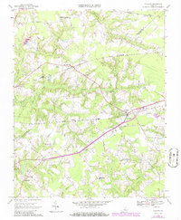
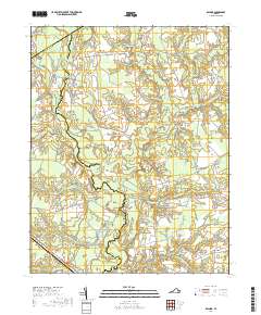
1967 Holland
Isle of Wight County, VA

1968 Raynor
Isle of Wight County, VA
1969 Bacons Castle
Isle of Wight County, VA
1969 Zuni
Isle of Wight County, VA

1994 Newport News South
Isle of Wight County, VA
2010 Bacons Castle
Isle of Wight County, VA
2010 Chuckatuck
Isle of Wight County, VA

2010 Holland
Isle of Wight County, VA
2010 Raynor
Isle of Wight County, VA
2010 Zuni
Isle of Wight County, VA
2011 Mulberry Island
Isle of Wight County, VA
2011 Newport News South
Isle of Wight County, VA
2013 Bacons Castle
Isle of Wight County, VA
2013 Chuckatuck
Isle of Wight County, VA
2013 Holland
Isle of Wight County, VA
2013 Mulberry Island
Isle of Wight County, VA
2013 Newport News South
Isle of Wight County, VA
2013 Raynor
Isle of Wight County, VA
2013 Zuni
Isle of Wight County, VA
2016 Bacons Castle
Isle of Wight County, VA
2016 Chuckatuck
Isle of Wight County, VA
2016 Holland
Isle of Wight County, VA
2016 Mulberry Island
Isle of Wight County, VA
2016 Newport News South
Isle of Wight County, VA
2016 Raynor
Isle of Wight County, VA
2016 Zuni
Isle of Wight County, VA
2019 Bacons Castle
Isle of Wight County, VA
2019 Chuckatuck
Isle of Wight County, VA
2019 Holland
Isle of Wight County, VA
2019 Mulberry Island
Isle of Wight County, VA
2019 Newport News South
Isle of Wight County, VA
2019 Raynor
Isle of Wight County, VA
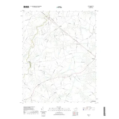
2019 Zuni
Isle of Wight County, VA
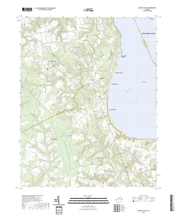
2022 Bacons Castle
Isle of Wight County, VA
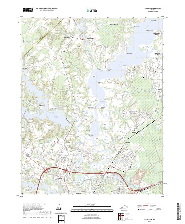
2022 Chuckatuck
Isle of Wight County, VA
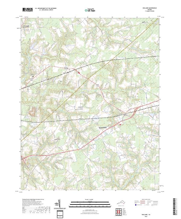
2022 Holland
Isle of Wight County, VA
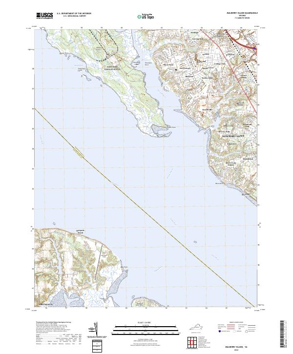
2022 Mulberry Island
Isle of Wight County, VA
2022 Newport News South
Isle of Wight County, VA
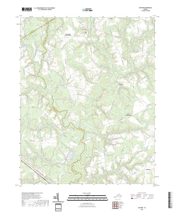
2022 Raynor
Isle of Wight County, VA

2022 Zuni
Isle of Wight County, VA