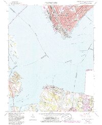
1964 Map of Newport News South
USGS Topo · Published 1986About this map
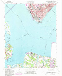
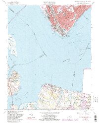
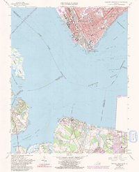
The maritime gateway of Hampton Roads dominates this mid-century survey, illustrating the critical intersection of the James River and the Nansemond River. The urban core of Newport News is depicted with its complex industrial waterfront, featuring extensive shipways, drydocks, and the terminal infrastructure of the C & O RR. Across the water, the rural character of the Suffolk and Isle of Wight County shorelines contrasts sharply with the industrial north, showing the small communities of Eclipse, Crittenden, and Bleakhorn. Educational and social institutions are prominent throughout the landscape, including the Virginia School for the Deaf and Blind, Tidewater Community College, and several neighborhood schools such as Booker T Washington School and Huntington High School. Along the southern banks, the U S Naval Supply Center near Edgefield highlights the region's long-standing military significance.
Find a feature on this map
77 named features on this map. Tap any name to fly to it.
Don’t see what you’re looking for? This feature index may not catch every label — zoom into the map to look around manually.
Map Details
Editions of this 1964 Newport News South Map
7 editions found
Other maps of this area

1907 · Norfolk
USGS Topo · 1:125,000

1907 · Yorktown
USGS Topo · 1:62,500

1907 · Hampton
USGS Topo · 1:62,500

1919 · Smithfield
USGS Topo · 1:62,500

1921 · Newport News
USGS Topo · 1:62,500

1943 · Yorktown
USGS Topo · 1:62,500

1943 · Richmond
USGS Topo · 1:250,000

1944 · Hampton
USGS Topo · 1:24,000

1944 · Morrison
USGS Topo · 1:24,000

1944 · Norfolk South
USGS Topo · 1:25,000