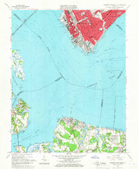
1964 Map of Newport News South
USGS Topo · Published 1966About this map
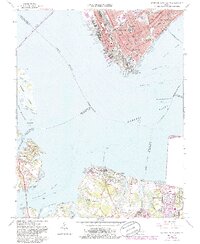
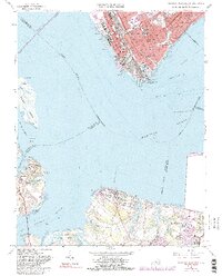
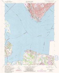
Shipways and drydocks dominate the urban waterfront of Newport News in this mid-1960s survey, reflecting the city’s deep-seated maritime and industrial identity. The map provides a detailed view of the street grids in the southern portions of both Hampton and Newport News, including significant social and educational landmarks like the Virginia School for the Deaf and Blind and Frederick College. The presence of numerous institutions, such as Huntington High Sch and Newsome Park Sch, along with the C & O RR corridor, illustrates the density of these Virginia coastal hubs.
Find a feature on this map
78 named features on this map. Tap any name to fly to it.
Don’t see what you’re looking for? This feature index may not catch every label — zoom into the map to look around manually.
Map Details
Editions of this 1964 Newport News South Map
7 editions found
Other maps of this area

1907 · Norfolk
USGS Topo · 1:125,000

1907 · Yorktown
USGS Topo · 1:62,500

1907 · Hampton
USGS Topo · 1:62,500

1919 · Smithfield
USGS Topo · 1:62,500

1921 · Newport News
USGS Topo · 1:62,500

1943 · Yorktown
USGS Topo · 1:62,500

1943 · Richmond
USGS Topo · 1:250,000

1944 · Hampton
USGS Topo · 1:24,000

1944 · Morrison
USGS Topo · 1:24,000

1944 · Norfolk South
USGS Topo · 1:25,000