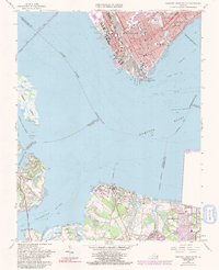
1964 Map of Newport News South
USGS Topo · Published 1991About this map
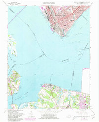
Industrial and maritime activity dominates the waterfront of Newport News as the mid-1960s transition into the late 1980s. The shoreline is defined by massive infrastructure, including shipways, drydocks, and the extensive Chesapeake and Ohio rail yards that feed into the Newport News Channel. This map captures a period of significant urban change, highlighting educational and civic expansions such as the Tidewater Community College at Pig Point and the Virginia School for the Deaf and Blind. Across the water, the landscape shifts toward the smaller coastal communities of Eclipse and Crittenden along the Nansemond River. Notable landmarks include Greenlawn Cemetery and several combined school and church sites like St Vincent Sch & Ch, reflecting the dense social fabric of the era.
Find a feature on this map
74 named features on this map. Tap any name to fly to it.
Don’t see what you’re looking for? This feature index may not catch every label — zoom into the map to look around manually.
Map Details
Editions of this 1964 Newport News South Map
7 editions found
Other maps of this area

1907 · Norfolk
USGS Topo · 1:125,000

1907 · Yorktown
USGS Topo · 1:62,500

1907 · Hampton
USGS Topo · 1:62,500

1919 · Smithfield
USGS Topo · 1:62,500

1921 · Newport News
USGS Topo · 1:62,500

1943 · Yorktown
USGS Topo · 1:62,500

1943 · Richmond
USGS Topo · 1:250,000

1944 · Hampton
USGS Topo · 1:24,000

1944 · Morrison
USGS Topo · 1:24,000

1944 · Norfolk South
USGS Topo · 1:25,000