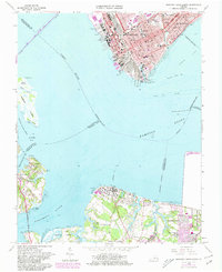
1964 Map of Newport News South
USGS Topo · Published 1980About this map
The industrial waterfront of Newport News and the maritime communities of the Tidewater region are documented in this mid-1960s survey, with later revisions showing the growth of Portsmouth and Hampton. The northern shore is dominated by heavy industry and transit, featuring the massive Shipways and Drydocks alongside the C & O RR yards. Inland, the map records established neighborhoods anchored by institutions like the Virginia School for the Deaf and Blind and Huntington High Sch. To the south, across the confluence of the James River and the Nansemond River, the character shifts to smaller settlements such as Eclipse and Crittenden, where the landscape is defined by tidal creeks and points like Pig Point. This transition from the urban shipyard core to the rural neck of Knotts Neck illustrates the post-war expansion of the Hampton Roads area.
Find a feature on this map
74 named features on this map. Tap any name to fly to it.
Don’t see what you’re looking for? This feature index may not catch every label — zoom into the map to look around manually.
Map Details
Editions of this 1964 Newport News South Map
7 editions found
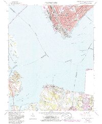
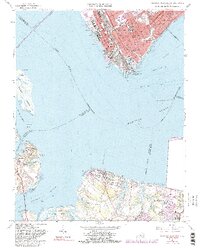
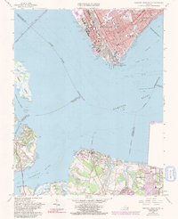
Other maps of this area

1907 · Norfolk
USGS Topo · 1:125,000

1907 · Yorktown
USGS Topo · 1:62,500

1907 · Hampton
USGS Topo · 1:62,500

1919 · Smithfield
USGS Topo · 1:62,500

1921 · Newport News
USGS Topo · 1:62,500

1943 · Yorktown
USGS Topo · 1:62,500

1943 · Richmond
USGS Topo · 1:250,000

1944 · Hampton
USGS Topo · 1:24,000

1944 · Morrison
USGS Topo · 1:24,000

1944 · Norfolk South
USGS Topo · 1:25,000