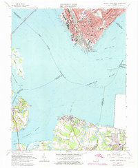
1964 Map of Newport News South
USGS Topo · Published 1974About this map
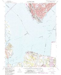
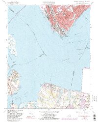
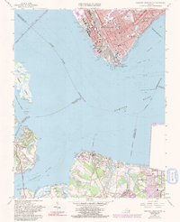
Shipways and drydocks line the eastern shore of the James River, marking the industrial heart of Newport News during this mid-century period. This survey illustrates the dense urban expansion toward Hampton and south into Suffolk, characterized by a concentration of educational institutions including Booker T Washington Sch and the Virginia School for the Deaf and Blind. Across the waters of Hampton Roads, the rural-industrial interface is evident in the smaller settlements of Eclipse and Crittenden, which contrast with the growing footprint of the US Naval Supply Center. Maritime features such as the Newport News Channel and Newport News Middle Ground define the nautical landscape of the harbor. Significant for genealogists, the map identifies numerous local burying grounds including Greenlawn Cemetery and Pleasant Shade Cem.
Find a feature on this map
72 named features on this map. Tap any name to fly to it.
Don’t see what you’re looking for? This feature index may not catch every label — zoom into the map to look around manually.
Map Details
Editions of this 1964 Newport News South Map
7 editions found
Other maps of this area

1907 · Norfolk
USGS Topo · 1:125,000

1907 · Yorktown
USGS Topo · 1:62,500

1907 · Hampton
USGS Topo · 1:62,500

1919 · Smithfield
USGS Topo · 1:62,500

1921 · Newport News
USGS Topo · 1:62,500

1943 · Yorktown
USGS Topo · 1:62,500

1943 · Richmond
USGS Topo · 1:250,000

1944 · Hampton
USGS Topo · 1:24,000

1944 · Morrison
USGS Topo · 1:24,000

1944 · Norfolk South
USGS Topo · 1:25,000