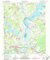
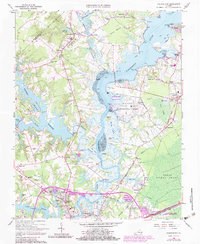
1965 Map of Chuckatuck
USGS Topo · Published 1990About this map
The Nansemond River dominates this Tidewater landscape, serving as a historic conduit between local settlements and the Chesapeake. In the mid-1960s, the area reflects a transition from river-based landings like Trotman Wharf and Wilkerson Landing to more modern infrastructure, including the expansive US Naval Communication Station. The map captures the complex hydrology of the region, where the Western Branch feeds into the Lake Reservoir, and the Nansemond Nat Wildlife Refuge preserves the marshes of Shackley Island. Local life is anchored by established communities such as Chuckatuck, Driver, and Palmyra, with numerous country churches like St Johns Ch and Beech Grove Ch serving as focal points for rural genealogy research. The southeastern corner touches the edge of the Great Dismal Swamp, highlighting the unique boggy terrain that defined early Virginia boundary surveying.
Find a feature on this map
80 named features on this map. Tap any name to fly to it.
Don’t see what you’re looking for? This feature index may not catch every label — zoom into the map to look around manually.
Map Details
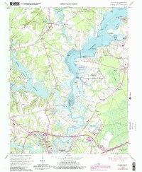
Editions of this 1965 Chuckatuck Map
6 editions found
Other maps of this area

1907 · Norfolk
USGS Topo · 1:125,000

1919 · Smithfield
USGS Topo · 1:62,500

1919 · Suffolk
USGS Topo · 1:62,500

1921 · Newport News
USGS Topo · 1:62,500

1940 · Lake Drummond
USGS Topo · 1:62,500

1944 · Windsor
USGS Topo · 1:31,680

1944 · Smithfield
USGS Topo · 1:24,000

1945 · Lake Drummond
USGS Topo · 1:62,500
1945 · Smithfield
USGS Topo · 1:31,680

1949 · Chuckatuck
USGS Topo · 1:24,000