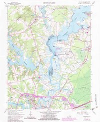
1965 Map of Chuckatuck
USGS Topo · Published 1980About this map
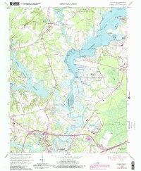
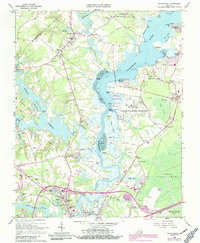
The Nansemond River dominates this Tidewater landscape, separating the rural reaches of Isle Of Wight Co from the growing infrastructure of Suffolk City. In the mid-1960s, the area retained its traditional crossroads character at settlements like Chuckatuck, Gloversville, and Driver, even as modern developments appeared. Significant medical and communications infrastructure is visible, including the Obici Memorial Hospital and the sprawling U S Naval Transmitter Station near Trotman Wharf.
Find a feature on this map
101 named features on this map. Tap any name to fly to it.
Don’t see what you’re looking for? This feature index may not catch every label — zoom into the map to look around manually.
Map Details
Editions of this 1965 Chuckatuck Map
6 editions found
Other maps of this area

1907 · Norfolk
USGS Topo · 1:125,000

1919 · Smithfield
USGS Topo · 1:62,500

1919 · Suffolk
USGS Topo · 1:62,500

1921 · Newport News
USGS Topo · 1:62,500

1940 · Lake Drummond
USGS Topo · 1:62,500

1944 · Windsor
USGS Topo · 1:31,680

1944 · Smithfield
USGS Topo · 1:24,000

1945 · Lake Drummond
USGS Topo · 1:62,500
1945 · Smithfield
USGS Topo · 1:31,680

1949 · Chuckatuck
USGS Topo · 1:24,000