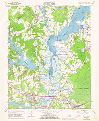
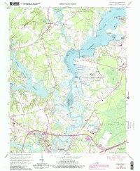
1965 Map of Chuckatuck
USGS Topo · Published 1973About this map
The Nansemond River dominates this mid-1960s landscape, serving as a central artery between the Isle of Wight and Nansemond county lines. The transition from tidal flats and marshes like Chuckatuck Creek to massive water management projects is evident in the presence of the Western Branch Reservior and Lake Meade, both marked by an extensive Aqueduct system. The map reflects a period of established military and communication infrastructure, prominently featuring the U S Naval Transmitter Station and several radio towers.
Find a feature on this map
105 named features on this map. Tap any name to fly to it.
Don’t see what you’re looking for? This feature index may not catch every label — zoom into the map to look around manually.
Map Details
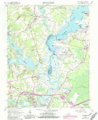
Editions of this 1965 Chuckatuck Map
6 editions found
Other maps of this area

1907 · Norfolk
USGS Topo · 1:125,000

1919 · Smithfield
USGS Topo · 1:62,500

1919 · Suffolk
USGS Topo · 1:62,500

1921 · Newport News
USGS Topo · 1:62,500

1940 · Lake Drummond
USGS Topo · 1:62,500

1944 · Windsor
USGS Topo · 1:31,680

1944 · Smithfield
USGS Topo · 1:24,000

1945 · Lake Drummond
USGS Topo · 1:62,500
1945 · Smithfield
USGS Topo · 1:31,680

1949 · Chuckatuck
USGS Topo · 1:24,000