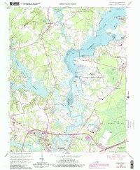
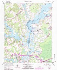
1965 Map of Chuckatuck
USGS Topo · Published 1990About this map
The Nansemond River and its intricate network of creeks and swamps define this Tidewater landscape on the border of Isle of Wight Co and Suffolk City. Originally surveyed in the mid-1960s with updates through the late 1980s, the map illustrates the transition from rural agricultural land and natural wetlands to more developed suburban and institutional uses. Significant portions of the landscape are dedicated to conservation and defense, most notably the Nansemond Nat Wildlife Refuge and the U S Naval Communication Station.
Find a feature on this map
76 named features on this map. Tap any name to fly to it.
Don’t see what you’re looking for? This feature index may not catch every label — zoom into the map to look around manually.
Map Details
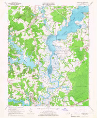
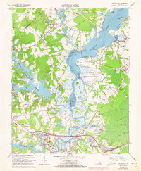
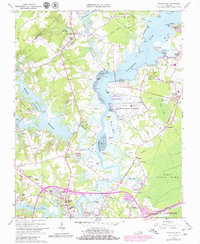
Editions of this 1965 Chuckatuck Map
6 editions found
Other maps of this area

1907 · Norfolk
USGS Topo · 1:125,000

1919 · Smithfield
USGS Topo · 1:62,500

1919 · Suffolk
USGS Topo · 1:62,500

1921 · Newport News
USGS Topo · 1:62,500

1940 · Lake Drummond
USGS Topo · 1:62,500

1944 · Windsor
USGS Topo · 1:31,680

1944 · Smithfield
USGS Topo · 1:24,000

1945 · Lake Drummond
USGS Topo · 1:62,500
1945 · Smithfield
USGS Topo · 1:31,680

1949 · Chuckatuck
USGS Topo · 1:24,000