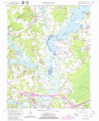
1965 Map of Chuckatuck
USGS Topo · Published 1980About this map
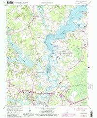
Chuckatuck and the surrounding Tidewater landscape define this 1965 survey, documenting the transition between rural agriculture and growing infrastructure in the Isle of Wight and Suffolk borderlands. The winding Nansemond River dominates the center of the sheet, flanked by historic riverfront points like Glebe Point and Abraham Point. Inland, the map captures a network of small settlements including Elephant Fork, Gloversville, and Driver, alongside significant institutional landmarks such as the U S Naval Transmitter Station and Obici Memorial Hospital.
Find a feature on this map
100 named features on this map. Tap any name to fly to it.
Don’t see what you’re looking for? This feature index may not catch every label — zoom into the map to look around manually.
Map Details
Editions of this 1965 Chuckatuck Map
6 editions found
Other maps of this area

1907 · Norfolk
USGS Topo · 1:125,000

1919 · Smithfield
USGS Topo · 1:62,500

1919 · Suffolk
USGS Topo · 1:62,500

1921 · Newport News
USGS Topo · 1:62,500

1940 · Lake Drummond
USGS Topo · 1:62,500

1944 · Windsor
USGS Topo · 1:31,680

1944 · Smithfield
USGS Topo · 1:24,000

1945 · Lake Drummond
USGS Topo · 1:62,500
1945 · Smithfield
USGS Topo · 1:31,680

1949 · Chuckatuck
USGS Topo · 1:24,000