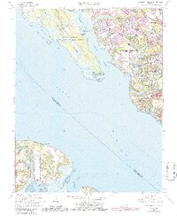
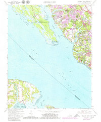
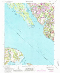
1965 Map of Mulberry Island
USGS Topo · Published 1986About this map
Mulberry Island and the western reaches of Newport News dominate this mid-1960s survey, illustrating the significant residential and military expansion along the James River. The eastern shore of the Warwick River shows a dense network of suburban developments including Maple Grove, Hidenwood, and Beverly Hills, while the western bank is largely defined by the restricted grounds of the Fort Eustis Military Reservation.
Find a feature on this map
59 named features on this map. Tap any name to fly to it.
Don’t see what you’re looking for? This feature index may not catch every label — zoom into the map to look around manually.
Map Details
Editions of this 1965 Mulberry Island Map
6 editions found
Other maps of this area

1907 · Norfolk
USGS Topo · 1:125,000

1907 · Yorktown
USGS Topo · 1:62,500

1907 · Hampton
USGS Topo · 1:62,500

1919 · Smithfield
USGS Topo · 1:62,500

1921 · Newport News
USGS Topo · 1:62,500

1943 · Yorktown
USGS Topo · 1:62,500

1943 · Richmond
USGS Topo · 1:250,000

1944 · Yorktown
USGS Topo · 1:24,000

1944 · Morrison
USGS Topo · 1:24,000

1944 · Harris Grove
USGS Topo · 1:24,000