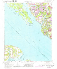
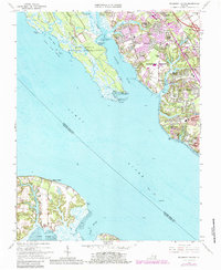
1965 Map of Mulberry Island
USGS Topo · Published 1980About this map
The Fort Eustis Military Reservation and the sprawling marshlands of Mulberry Island define the western shoreline of the Warwick River in this 1960s study, updated with late 1970s suburban growth. The map captures a period of intense residential expansion across Newport News, with established communities like Denbigh and Menchville appearing alongside newer developments such as Merry Point Estates and Hidenwood. A stark contrast exists between the institutional footprint of the Prison Farm and the recreational spaces of the James River Country Club and Warwick Yacht Club.
Find a feature on this map
53 named features on this map. Tap any name to fly to it.
Don’t see what you’re looking for? This feature index may not catch every label — zoom into the map to look around manually.
Map Details
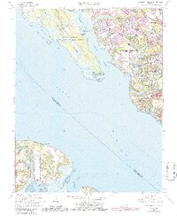
Editions of this 1965 Mulberry Island Map
6 editions found
Other maps of this area

1907 · Norfolk
USGS Topo · 1:125,000

1907 · Yorktown
USGS Topo · 1:62,500

1907 · Hampton
USGS Topo · 1:62,500

1919 · Smithfield
USGS Topo · 1:62,500

1921 · Newport News
USGS Topo · 1:62,500

1943 · Yorktown
USGS Topo · 1:62,500

1943 · Richmond
USGS Topo · 1:250,000

1944 · Yorktown
USGS Topo · 1:24,000

1944 · Morrison
USGS Topo · 1:24,000

1944 · Harris Grove
USGS Topo · 1:24,000