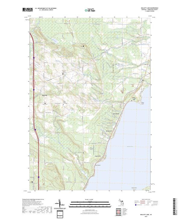
2023 Map of Mullett Lake
USGS Topo · Published 2023About this map
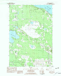
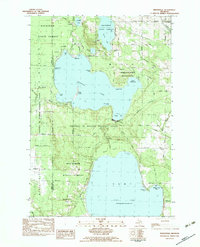
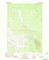
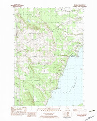
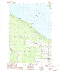
The western shores of Mullett Lake define this portion of Cheboygan County, where a legacy of diverse cultural settlement is visible in the landscape. Several historic burial grounds, including the Saint John's German Lutheran Cem, Polish Cem, and an African - American Cem, indicate the distinct ethnic communities that established roots in the townships of t37n r3w and t36n r2w. This area, centered around the hamlet of Riggsville, shows a transition from inland agricultural plots to lakeside communities such as Birchwood and Silver Beach. Moving south along the shoreline towards Long Point and Miami Beach, the terrain is marked by numerous watercourses like Mullett Creek and Birchwood Creek that drain into the larger lake. The presence of Pbeaye Airport and the local road network, including the Topinabee Mail Route Rd, connects these residential lakeside developments with the more isolated interior farmland and forests.
Find a feature on this map
86 named features on this map. Tap any name to fly to it.
Don’t see what you’re looking for? This feature index may not catch every label — zoom into the map to look around manually.
Map Details
Editions of this 2023 Mullett Lake Map
This is the sole edition of this map. No revisions or reprints were ever made.
Historical Maps of Inverness Township Through Time
25 maps found
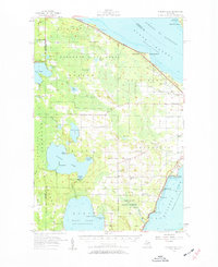
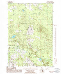
1957 Mullett Lake
Cheboygan County, MI
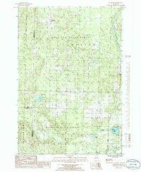
1982 Aloha
Cheboygan County, MI
1982 Cordwood Point
Cheboygan County, MI
1982 Freedom
Cheboygan County, MI
1982 Indianville
Cheboygan County, MI
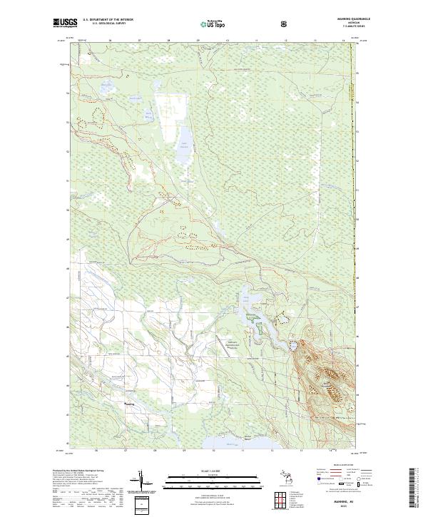
1982 Manning
Cheboygan County, MI
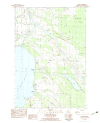
1982 Mullett Lake
Cheboygan County, MI
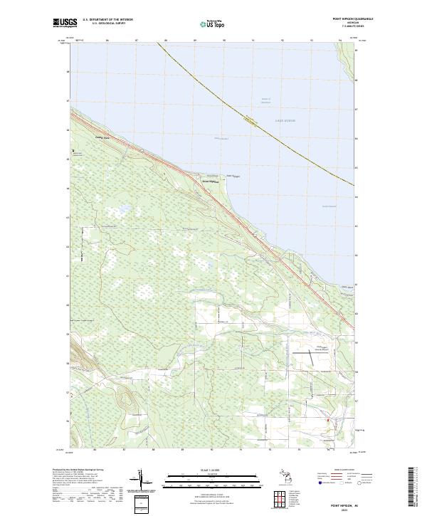
1982 Point Nipigon
Cheboygan County, MI
1986 Afton
Cheboygan County, MI
1986 Burt Lake
Cheboygan County, MI
1986 Hangore Heights
Cheboygan County, MI
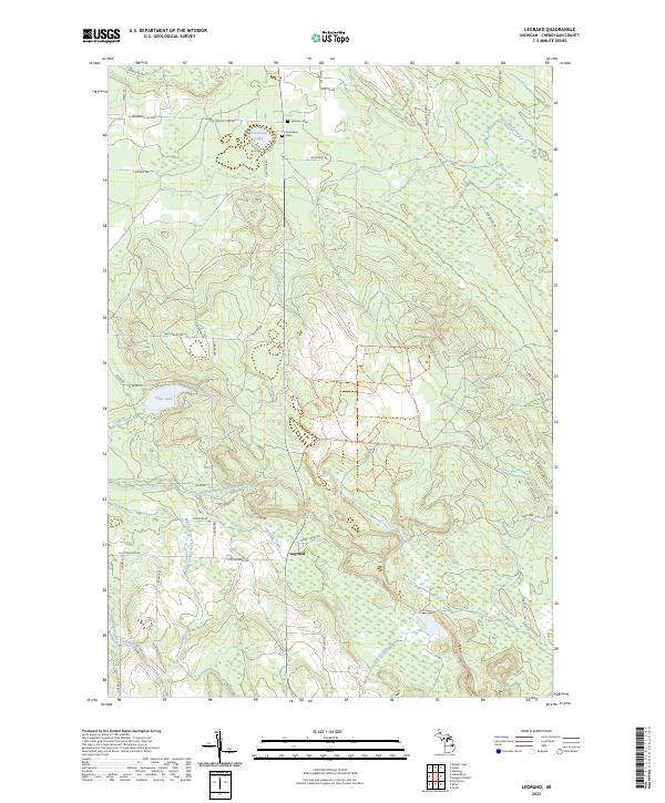
1986 Legrand
Cheboygan County, MI
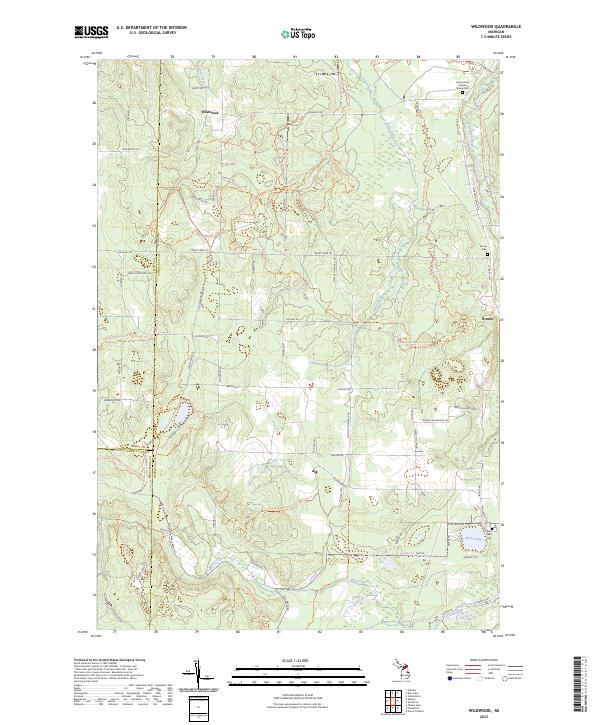
1986 Wildwood
Cheboygan County, MI
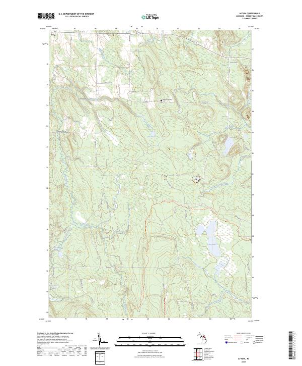
2023 Afton
Cheboygan County, MI
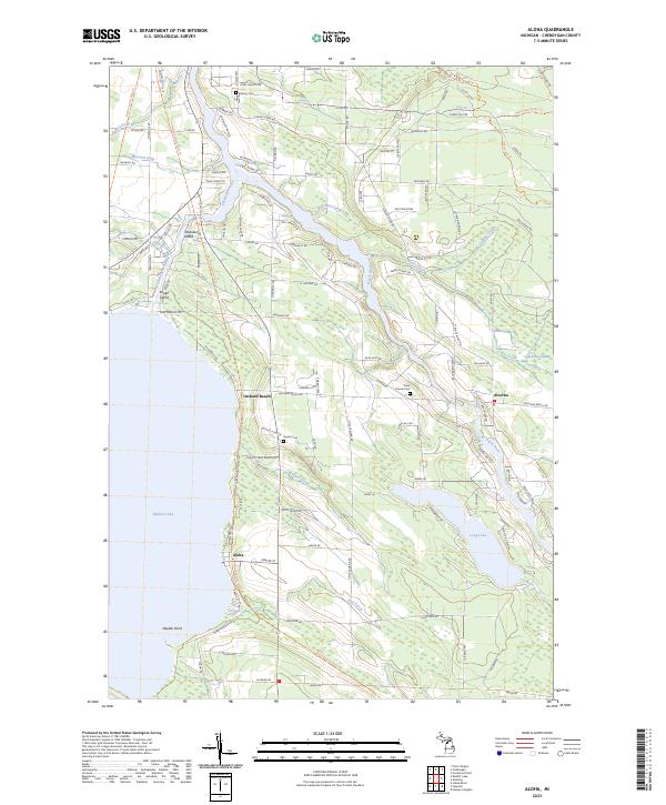
2023 Aloha
Cheboygan County, MI
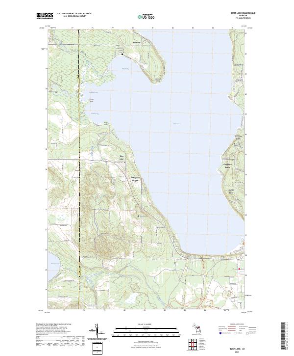
2023 Burt Lake
Cheboygan County, MI
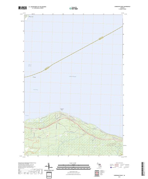
2023 Cordwood Point
Cheboygan County, MI
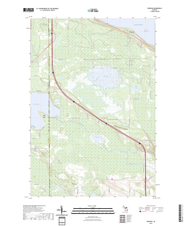
2023 Freedom
Cheboygan County, MI

2023 Hangore Heights
Cheboygan County, MI
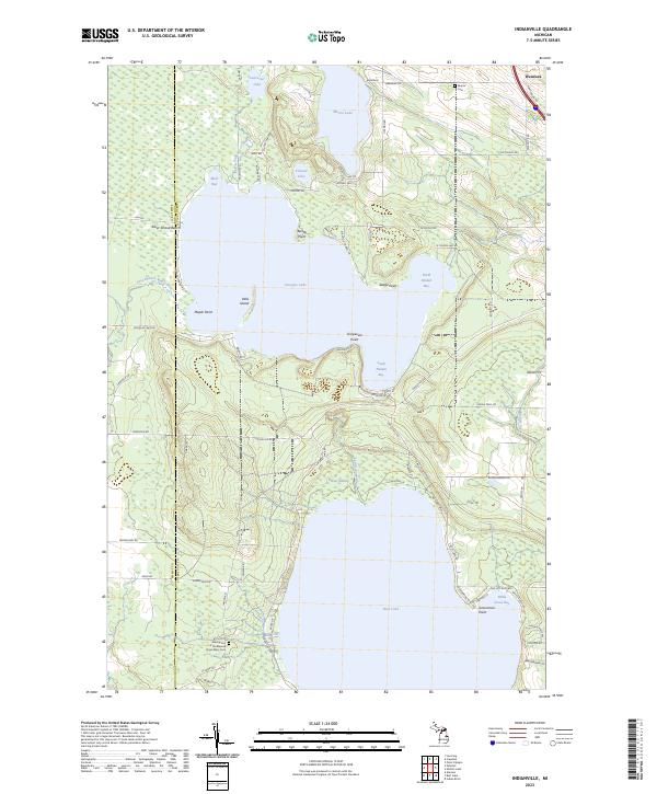
2023 Indianville
Cheboygan County, MI
2023 Legrand
Cheboygan County, MI
2023 Manning
Cheboygan County, MI
2023 Mullett Lake
Cheboygan County, MI
2023 Point Nipigon
Cheboygan County, MI
2023 Wildwood
Cheboygan County, MI
Featured Locations
- Mullett Township, MI
- Munro Township, MI
- Silver Beach, Inverness Township
- Birchwood, Mullett Township
- Long Point, Mullett Township