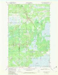
1968 Map of Mulligan Lake NE
USGS Topo · Published 1982About this map
The Beltrami Island State Forest dominates this landscape on the border of Roseau and Lake of the Woods counties during the late 1960s. The map illustrates a complex wetland environment where the Red Lake Indian Reservation meets managed forest lands. Resource extraction and forestry infrastructure are evident through scattered Gravel Pits and the presence of the Lookout Tower BM 1208 situated near the West Branch Warroad River.
Find a feature on this map
10 named features on this map. Tap any name to fly to it.
Don’t see what you’re looking for? This feature index may not catch every label — zoom into the map to look around manually.
Map Details
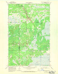
Editions of this 1968 Mulligan Lake NE Map
2 editions found
Other maps of this area

1918 · Winterroad
USGS Topo · 1:62,500

1918 · Roosevelt
USGS Topo · 1:62,500

1918 · Warroad
USGS Topo · 1:62,500

1943 · Roosevelt
USGS Topo · 1:62,500

1943 · Warroad
USGS Topo · 1:62,500

1954 · Roseau
USGS Topo · 1:250,000

1957 · Roseau
USGS Topo · 1:250,000

1958 · Roseau
USGS Topo · 1:250,000
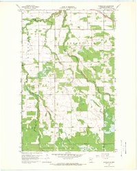
1967 · Warroad SE
USGS Topo · 1:24,000
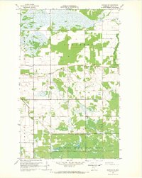
1967 · Warroad SW
USGS Topo · 1:24,000