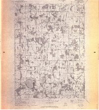
1970 Map of Munith
USGS Topo · Published 1972About this map
Bunker Hill and Henrietta townships straddle the county line in this early 1970s landscape, where rural settlement patterns are clearly defined by a grid of family-named roads. The village of Munith sits at a rail junction in the southeast, anchored by the Grand Trunk Western railroad line. To the west, the community at Pleasant Lake is characterized by its lakeside development and local institutions like the Pleasant Lake Church and the nearby Henrietta School.
Find a feature on this map
40 named features on this map. Tap any name to fly to it.
Don’t see what you’re looking for? This feature index may not catch every label — zoom into the map to look around manually.
Map Details
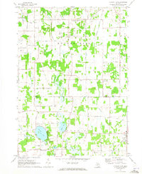
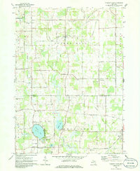
Editions of this 1970 Munith Map
3 editions found
Other maps of this area

1908 · Fowlerville
USGS Topo · 1:62,500

1909 · Mason
USGS Topo · 1:62,500

1910 · Fowlerville
USGS Topo · 1:62,500

1911 · Mason
USGS Topo · 1:62,500

1919 · Stockbridge
USGS Topo · 1:62,500

1919 · Rives Junction
USGS Topo · 1:62,500

1921 · Rives Junction
USGS Topo · 1:62,500

1922 · Stockbridge
USGS Topo · 1:62,500

1942 · Stockbridge
USGS Topo · 1:62,500

1958 · Grand Rapids
USGS Topo · 1:250,000
Featured Places
- Leslie Township, MI
- Bunker Hill Township, MI
- Rives Township, MI
- Stockbridge Township, MI
- Pleasant Lake, MI