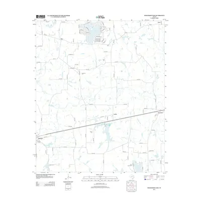
2013 Map of Murchison East
USGS Topo · Published 2013About this map
Brownsboro and Murchison anchor the southeastern and southwestern corners of this East Texas landscape, connected by a corridor of highway and rail that passes through the settlement of Opelika. The region is defined by a dense network of creek systems including Kickapoo Cr, Prairie Cr, and Slater Cr, which feed into numerous small lakes and reservoirs. This drainage pattern supported early settlement, evidenced by the distribution of family and community landmarks like Asberry Cem and Red Hill Cem.
Find a feature on this map
112 named features on this map. Tap any name to fly to it.
Don’t see what you’re looking for? This feature index may not catch every label — zoom into the map to look around manually.
Map Details
Editions of this 2013 Murchison East Map
This is the sole edition of this map. No revisions or reprints were ever made.
Other maps of this area

1948 · Brownsboro
USGS Topo · 1:62,500

1948 · Martins Mill
USGS Topo · 1:62,500

1949 · Martins Mill
USGS Topo · 1:62,500

1949 · Brownsboro
USGS Topo · 1:62,500

1949 · Frankston
USGS Topo · 1:62,500

1949 · Athens
USGS Topo · 1:62,500

1950 · Athens
USGS Topo · 1:62,500

1950 · Frankston
USGS Topo · 1:62,500

1956 · Tyler
USGS Topo · 1:250,000

1984 · Tyler
USGS Topo · 1:250,000