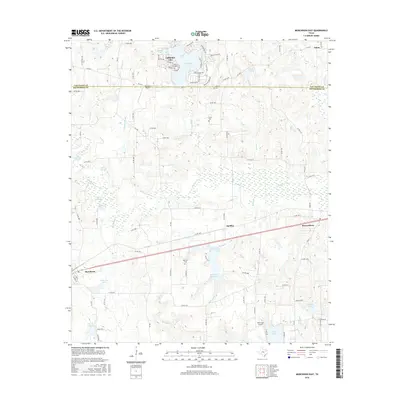
2016 Map of Murchison East
USGS Topo · Published 2016About this map
The boundary between Van Zandt Co and Henderson Co cuts across this East Texas landscape, where several small communities are connected by a network of farm-to-market roads and county routes. The settlement of Callender Lake is a prominent feature in the north, while Murchison and Brownsboro anchor the southern corridor along the highway. Smaller locales like Opelika and Edom show the enduring pattern of rural settlement in this region.
Find a feature on this map
95 named features on this map. Tap any name to fly to it.
Don’t see what you’re looking for? This feature index may not catch every label — zoom into the map to look around manually.
Map Details
Editions of this 2016 Murchison East Map
This is the sole edition of this map. No revisions or reprints were ever made.
Other maps of this area

1948 · Brownsboro
USGS Topo · 1:62,500

1948 · Martins Mill
USGS Topo · 1:62,500

1949 · Martins Mill
USGS Topo · 1:62,500

1949 · Brownsboro
USGS Topo · 1:62,500

1949 · Frankston
USGS Topo · 1:62,500

1949 · Athens
USGS Topo · 1:62,500

1950 · Athens
USGS Topo · 1:62,500

1950 · Frankston
USGS Topo · 1:62,500

1956 · Tyler
USGS Topo · 1:250,000

1984 · Tyler
USGS Topo · 1:250,000