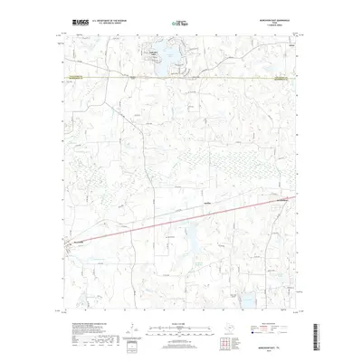
2019 Map of Murchison East
USGS Topo · Published 2019About this map
Brownsboro and Murchison anchor the southern portion of this landscape, situated along the primary transit corridor in Henderson County. The area is defined by its complex drainage network, where Kickapoo Cr and its various tributaries like Killingworth Br and Price Br feed into wetlands and smaller impoundments. The north is notably characterized by the developed shoreline of Callender Lake, featuring a dense network of residential drives such as Opossum Creek Dr and Long Shadow Dr. Local history is preserved in several small burial grounds, including Asberry Cem near the Van Zandt County line and Lewis Cem to the south. The rural infrastructure is further marked by small landing strips like Red Star Airport and Echo Lake Airport, reflecting the region's aviation history and large private landholdings.
Find a feature on this map
103 named features on this map. Tap any name to fly to it.
Don’t see what you’re looking for? This feature index may not catch every label — zoom into the map to look around manually.
Map Details
Editions of this 2019 Murchison East Map
This is the sole edition of this map. No revisions or reprints were ever made.
Other maps of this area
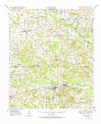
1948 · Brownsboro
USGS Topo · 1:62,500
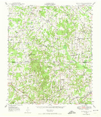
1948 · Martins Mill
USGS Topo · 1:62,500
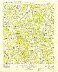
1949 · Martins Mill
USGS Topo · 1:62,500
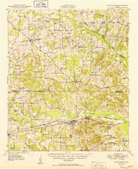
1949 · Brownsboro
USGS Topo · 1:62,500
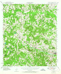
1949 · Frankston
USGS Topo · 1:62,500
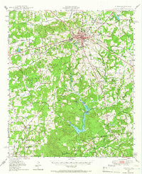
1949 · Athens
USGS Topo · 1:62,500
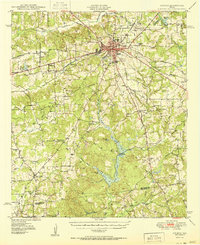
1950 · Athens
USGS Topo · 1:62,500
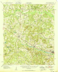
1950 · Frankston
USGS Topo · 1:62,500

1956 · Tyler
USGS Topo · 1:250,000
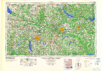
1984 · Tyler
USGS Topo · 1:250,000