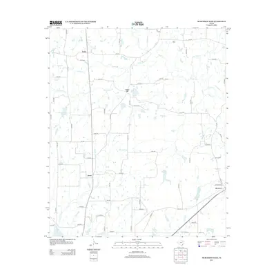
2013 Map of Murchison West
USGS Topo · Published 2013About this map
Walton and Bethel anchor this portion of Henderson County, situated within a landscape defined by the intricate dendritic drainage of Kickapoo Cr and Pottawatomie Cr. The map reveals a rural Texas environment where small communities are connected by a network of county roads and farm-to-market routes. Local history is preserved at the Liberty Cem and Ray Cem, providing important touchstones for genealogical research in the area.
Find a feature on this map
67 named features on this map. Tap any name to fly to it.
Don’t see what you’re looking for? This feature index may not catch every label — zoom into the map to look around manually.
Map Details
Editions of this 2013 Murchison West Map
This is the sole edition of this map. No revisions or reprints were ever made.
Other maps of this area

1948 · Brownsboro
USGS Topo · 1:62,500

1948 · Martins Mill
USGS Topo · 1:62,500

1949 · Martins Mill
USGS Topo · 1:62,500

1949 · Brownsboro
USGS Topo · 1:62,500

1949 · Frankston
USGS Topo · 1:62,500

1949 · Athens
USGS Topo · 1:62,500

1950 · Athens
USGS Topo · 1:62,500

1950 · Frankston
USGS Topo · 1:62,500

1956 · Tyler
USGS Topo · 1:250,000

1984 · Tyler
USGS Topo · 1:250,000