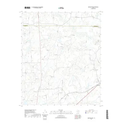
2019 Map of Murchison West
USGS Topo · Published 2019About this map
Murchison anchors the southeastern corner of this Henderson County survey, where the local road network converges near Jackson Lake and Dillard Lake. The terrain is defined by a dense system of tributary streams including Pottawatomie Cr, Kickapoo Cr, and Third Caney Cr, which drain the low-lying woodlands and pastures between the Van Zandt Co and Henderson Co line. For those researching local family history, the map identifies several small community landmarks such as Liberty Cem and Ray Cem, alongside distinctive natural features like Meredith Spring. The modern infrastructure of S Trade Days Blvd and various farm-to-market roads illustrates the transition from traditional rural ranching lands to contemporary accessibility, maintaining the distinct parcels and drainage patterns that have shaped this East Texas landscape for generations.
Find a feature on this map
73 named features on this map. Tap any name to fly to it.
Don’t see what you’re looking for? This feature index may not catch every label — zoom into the map to look around manually.
Map Details
Editions of this 2019 Murchison West Map
This is the sole edition of this map. No revisions or reprints were ever made.
Other maps of this area

1948 · Brownsboro
USGS Topo · 1:62,500

1948 · Martins Mill
USGS Topo · 1:62,500

1949 · Martins Mill
USGS Topo · 1:62,500

1949 · Brownsboro
USGS Topo · 1:62,500

1949 · Frankston
USGS Topo · 1:62,500

1949 · Athens
USGS Topo · 1:62,500

1950 · Athens
USGS Topo · 1:62,500

1950 · Frankston
USGS Topo · 1:62,500

1956 · Tyler
USGS Topo · 1:250,000

1984 · Tyler
USGS Topo · 1:250,000