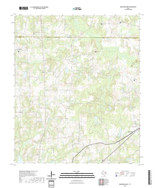
2022 Map of Murchison West
USGS Topo · Published 2022About this map
The town of Murchison and its surrounding rural network occupy this landscape on the boundary between Henderson and Van Zandt counties. This recent survey depicts a topography defined by complex drainage basins, where Kickapoo Cr and Pottawatomie Cr wind through the terrain. The map is particularly valuable for genealogists, as it documents numerous family-named and local burial grounds, including Zion Hill Cem, Meredith Campground Cem, and Tidmore Cem.
Find a feature on this map
79 named features on this map. Tap any name to fly to it.
Don’t see what you’re looking for? This feature index may not catch every label — zoom into the map to look around manually.
Map Details
Editions of this 2022 Murchison West Map
This is the sole edition of this map. No revisions or reprints were ever made.
Other maps of this area

1948 · Brownsboro
USGS Topo · 1:62,500

1948 · Martins Mill
USGS Topo · 1:62,500

1949 · Martins Mill
USGS Topo · 1:62,500

1949 · Brownsboro
USGS Topo · 1:62,500

1949 · Frankston
USGS Topo · 1:62,500

1949 · Athens
USGS Topo · 1:62,500

1950 · Athens
USGS Topo · 1:62,500

1950 · Frankston
USGS Topo · 1:62,500

1956 · Tyler
USGS Topo · 1:250,000

1984 · Tyler
USGS Topo · 1:250,000