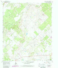
1965 Map of Murphy Creek
USGS Topo · Published 1987About this map
Oil field operations and cattle ranching define this portion of Shackelford County during the mid-1960s, a landscape deeply marked by the extractive industry. Numerous oil wells and gravel pits are scattered across the terrain, illustrating the rural economic drivers of the era. The settlement of Moberley and a quiet Cem represent the small human footprint in an area dominated by wide-reaching drainage systems. Water remains a central feature of the topography, as several significant streams including Foyle Creek, Murphy Creek, and Newcomb Creek carve through the land. In the southeast corner, the rising waters of Hubbard Creek Lake suggest the changing environment and the development of regional water resources. The infrastructure is rounded out by the presence of a Roadside Park along the highway, offering a point of rest for those traveling through this remote Texas interior.
Find a feature on this map
15 named features on this map. Tap any name to fly to it.
Don’t see what you’re looking for? This feature index may not catch every label — zoom into the map to look around manually.
Map Details
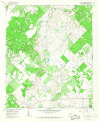
Editions of this 1965 Murphy Creek Map
2 editions found
Other maps of this area

1892 · Albany
USGS Topo · 1:125,000

1893 · Albany
USGS Topo · 1:125,000

1954 · Abilene
USGS Topo · 1:250,000

1958 · Abilene
USGS Topo · 1:250,000

1958 · Edwards Branch
USGS Topo · 1:24,000

1961 · Eolian
USGS Topo · 1:24,000

1965 · Collins Creek
USGS Topo · 1:24,000

1965 · Albany
USGS Topo · 1:24,000

1965 · McCatherine Mountain
USGS Topo · 1:24,000

1965 · Lusk
USGS Topo · 1:24,000