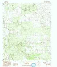
1984 Map of Smoky Draw
USGS Topo · Published 1991About this map
The boundary between Jones County and Shackelford County runs through a landscape defined by an extensive drainage network in North Central Texas. Published in the early 1990s based on aerial surveys from 1976, this map reveals the industrial footprint of the region's energy and resource extraction. Significant Oil Field activity is concentrated in the northern sections, while a Gravel Pit marks the local exploitation of earth materials. The terrain is characterized by a complex series of waterways, including the Clear Brazos River and the prominent Smoky Draw. These creeks, such as Threemile Creek and Deadman Creek, illustrate the natural erosion patterns that have shaped the plains. Landmarks like the Chimney and Chimney Creek indicate local geographic markers used by generations of ranchers and land surveyors in this part of the state.
Find a feature on this map
12 named features on this map. Tap any name to fly to it.
Don’t see what you’re looking for? This feature index may not catch every label — zoom into the map to look around manually.
Map Details
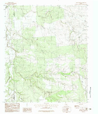
Editions of this 1984 Smoky Draw Map
2 editions found
Other maps of this area

1891 · Anson
USGS Topo · 1:125,000

1892 · Albany
USGS Topo · 1:125,000

1893 · Albany
USGS Topo · 1:125,000

1893 · Anson
USGS Topo · 1:125,000

1954 · Abilene
USGS Topo · 1:250,000

1957 · Nugent
USGS Topo · 1:62,500
1957 · Hamby
USGS Topo · 1:24,000

1958 · Abilene
USGS Topo · 1:250,000

1965 · Acampo
USGS Topo · 1:24,000

1965 · Lueders West
USGS Topo · 1:24,000