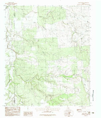
1984 Map of Smoky Draw
USGS Topo · Published 1984About this map
Smoky Draw carves through the central terrain of this West Texas landscape, where the boundary between Jones Co and Shackelford Co is marked across a region defined by its drainage systems and petroleum activity. The northern section is dominated by the Clear Fork Brazos River, while an extensive Oil Field indicates the industrial character of the land during the late 1970s and early 1980s. A network of waterways including Deadman Creek, Threemile Creek, and Long Creek converge toward the river, illustrating the complex watershed of the rolling plains. Named landmarks like Chimney Field and Chimney suggest localized topography or historic site-naming conventions, while a Gravel Pit and South Prong Long Creek highlight the intersection of natural resources and minor extraction industries in this rural expanse.
Find a feature on this map
12 named features on this map. Tap any name to fly to it.
Don’t see what you’re looking for? This feature index may not catch every label — zoom into the map to look around manually.
Map Details
Editions of this 1984 Smoky Draw Map
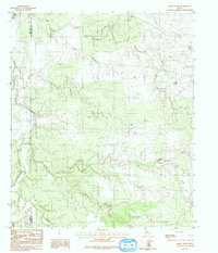
2 editions found
Other maps of this area

1891 · Anson
USGS Topo · 1:125,000

1892 · Albany
USGS Topo · 1:125,000

1893 · Albany
USGS Topo · 1:125,000

1893 · Anson
USGS Topo · 1:125,000

1954 · Abilene
USGS Topo · 1:250,000

1957 · Nugent
USGS Topo · 1:62,500
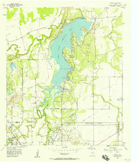
1957 · Hamby
USGS Topo · 1:24,000

1958 · Abilene
USGS Topo · 1:250,000

1965 · Acampo
USGS Topo · 1:24,000

1965 · Lueders West
USGS Topo · 1:24,000