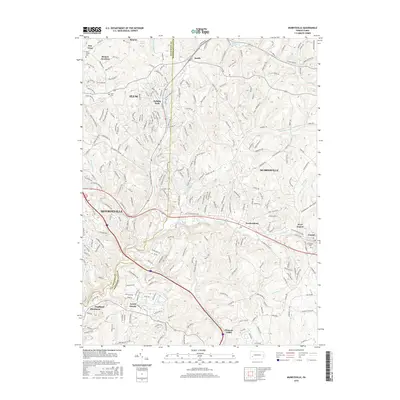
2016 Map of Murrysville
USGS Topo · Published 2016About this map
Monroeville and Murrysville anchor this 2016 study of the suburbanizing landscape where Allegheny Co meets Westmoreland Co. The map reveals a complex web of modern subdivisions and older settlements like Newlonsburg, Sardis, and Export. Local history is preserved in traditional landmarks such as Plum Creek Cem and Grandview Cem, while the modern residential character of the region is evident in developments like Holiday Park and institutions like Holiday Park Sch.
Find a feature on this map
258 named features on this map. Tap any name to fly to it.
Don’t see what you’re looking for? This feature index may not catch every label — zoom into the map to look around manually.
Map Details
Editions of this 2016 Murrysville Map
This is the sole edition of this map. No revisions or reprints were ever made.
Other maps of this area

1904 · Mc Keesport
USGS Topo · 1:62,500

1904 · Greensburg
USGS Topo · 1:62,500

1906 · Greensburg
USGS Topo · 1:62,500

1907 · Pittsburg
USGS Topo · 1:62,500

1907 · Freeport
USGS Topo · 1:62,500

1908 · New Kensington
USGS Topo · 1:62,500

1909 · Freeport
USGS Topo · 1:62,500

1910 · New Kensington
USGS Topo · 1:62,500

1953 · Pittsburgh
USGS Topo · 1:250,000
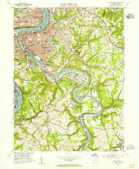
1953 · Mc Keesport
USGS Topo · 1:24,000