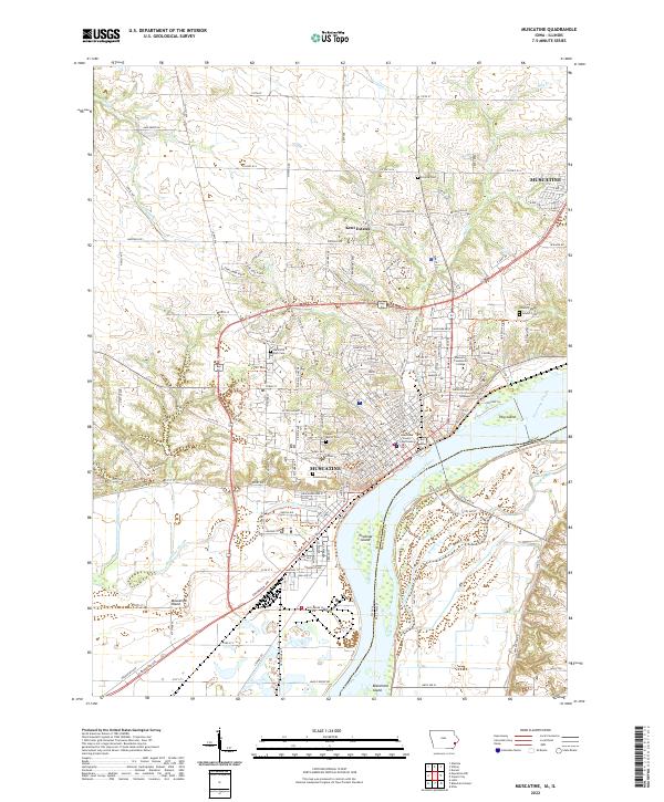
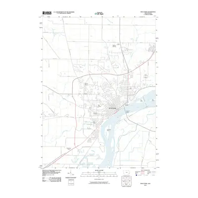
2022 Map of Muscatine
USGS Topo · Published 2022About this map
Muscatine sits prominently along a sharp bend of the Mississippi River, where the landscape transitions from the urban grid of the city to the complex hydrologic network of the river bottomlands. This modern survey illustrates the civic heart of the area, including the Muscatine County Courthouse and Muscatine Community College, while highlighting numerous community landmarks like Greenwood Cem and Saint Mary's Cem.
Find a feature on this map
166 named features on this map. Tap any name to fly to it.
Don’t see what you’re looking for? This feature index may not catch every label — zoom into the map to look around manually.
Map Details
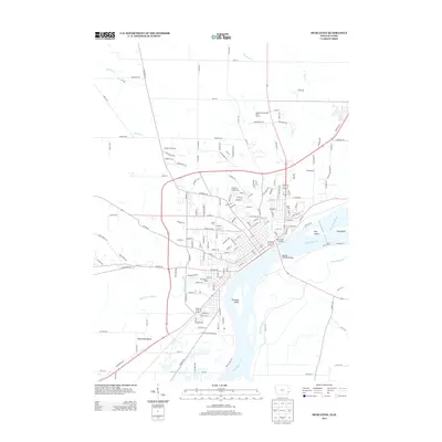
Editions of this 2022 Muscatine Map
This is the sole edition of this map. No revisions or reprints were ever made.
Historical Maps of Muscatine Through Time
9 maps found

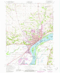
1948 Muscatine
Muscatine County, IA
1953 Muscatine
Muscatine County, IA
1984 Muscatine
Muscatine County, IA
1991 Muscatine
Muscatine County, IA
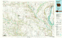
2010 Muscatine
Muscatine County, IA
2013 Muscatine
Muscatine County, IA
2015 Muscatine
Muscatine County, IA
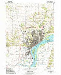
2018 Muscatine
Muscatine County, IA
2022 Muscatine
Muscatine County, IA