
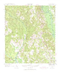
1941 Map of Muscogee
USGS Topo · Published 1956About this map
The Perdido River serves as the primary boundary in this 1940s landscape, dividing the Florida panhandle from Alabama as it winds through a network of wetlands and creek branches. Timber and rail infrastructure define the local economy, with the St Louis San Francisco RR and the Louisville and Nashville RR cutting through the interior to support settlements like Cantonment and Muscogee.
Find a feature on this map
113 named features on this map. Tap any name to fly to it.
Don’t see what you’re looking for? This feature index may not catch every label — zoom into the map to look around manually.
Map Details
Editions of this 1941 Muscogee Map
2 editions found
Other maps of this area

1920 · Milton
USGS Topo · 1:62,500

1920 · Robertsdale
USGS Topo · 1:62,500

1921 · Bon Secour
USGS Topo · 1:62,500

1921 · Pensacola
USGS Topo · 1:62,500

1921 · Fort Barrancas
USGS Topo · 1:62,500

1921 · Muscogee
USGS Topo · 1:62,500

1941 · Fort Barrancas
USGS Topo · 1:62,500

1941 · Robertsdale
USGS Topo · 1:62,500

1941 · Pensacola
USGS Topo · 1:62,500

1941 · Milton
USGS Topo · 1:62,500