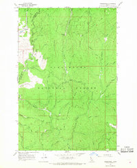
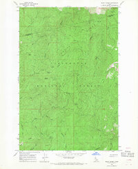
1966 Map of Musselshell
USGS Topo · Published 1968About this map
Clearwater National Forest dominates this mid-1960s survey of the mountain country where Clearwater Co and Idaho Co meet. The settlement of Musselshell serves as the primary outpost in a landscape defined by sharp elevation changes and an intricate drainage system. Navigation through the timber and ridges relies on established routes such as the Pack Trail, which winds past high-elevation points like Chamook Saddle and a designated Lookout.
Find a feature on this map
48 named features on this map. Tap any name to fly to it.
Don’t see what you’re looking for? This feature index may not catch every label — zoom into the map to look around manually.
Map Details
Editions of this 1966 Musselshell Map
2 editions found
Other maps of this area

1924 · Weippe
USGS Topo · 1:125,000

1956 · Hamilton
USGS Topo · 1:250,000

1959 · Hamilton
USGS Topo · 1:250,000

1960 · Hamilton
USGS Topo · 1:250,000

1964 · Hamilton
USGS Topo · 1:250,000

1966 · Pierce
USGS Topo · 1:24,000
1966 · Glenwood
USGS Topo · 1:24,000
1966 · Hemlock Butte
USGS Topo · 1:24,000

1966 · Lowell
USGS Topo · 1:24,000
1966 · Snowy Summit
USGS Topo · 1:24,000