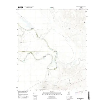
2014 Map of Myrtlewood North
USGS Topo · Published 2014About this map
The Tombigbee River snakes through the heart of this Marengo County landscape, defining the borders with Sumter and Choctaw counties. This riverine environment is characterized by numerous named sandbars and shoals, such as Lone Brothers Bar, Four Mile Bar, and Miles Shoal, indicating the shifting nature of the waterway. The settlement of Myrtlewood serves as a primary local hub, where Railroad St and Chestnut Ave mark the community layout near the southern edge of the quadrangle.
Find a feature on this map
39 named features on this map. Tap any name to fly to it.
Don’t see what you’re looking for? This feature index may not catch every label — zoom into the map to look around manually.
Map Details
Editions of this 2014 Myrtlewood North Map
This is the sole edition of this map. No revisions or reprints were ever made.
Other maps of this area

1953 · Montgomery
USGS Topo · 1:250,000

1953 · Meridian
USGS Topo · 1:250,000

1956 · Montgomery
USGS Topo · 1:250,000

1957 · Meridian
USGS Topo · 1:250,000

1957 · Montgomery
USGS Topo · 1:250,000

1965 · Meridian
USGS Topo · 1:250,000

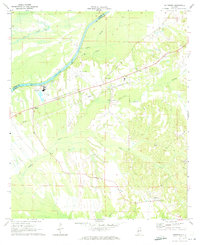
1970 · Myrtlewood North
USGS Topo · 1:24,000
1970 · Jefferson
USGS Topo · 1:24,000

1970 · Old Spring Hill
USGS Topo · 1:24,000

1970 · Linden
USGS Topo · 1:24,000