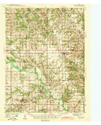
1942 Map of Mystic
USGS Topo · Published 1942About this map
Mystic and the surrounding coal-mining communities of southern Iowa are captured here during a period of industrial transition. The landscape is defined by the winding course of the Chariton River and a dense network of transit, including the Wabash and the Chicago Burlington and Quincy railroads. The map records the high density of rural schoolhouses and local institutions that served these small mining and farming settlements, such as Hedge College Sch and Wesley Chapel.
Find a feature on this map
86 named features on this map. Tap any name to fly to it.
Don’t see what you’re looking for? This feature index may not catch every label — zoom into the map to look around manually.
Map Details
Editions of this 1942 Mystic Map
This is the sole edition of this map. No revisions or reprints were ever made.
Other maps of this area
1924 · Melcher
USGS Topo · 1:62,500
1929 · Albia
USGS Topo · 1:62,500
1935 · Russell
USGS Topo · 1:62,500
1938 · Russell
USGS Topo · 1:62,500
1939 · Centerville
USGS Topo · 1:62,500
1939 · Mystic
USGS Topo · 1:62,500
1941 · Centerville
USGS Topo · 1:62,500
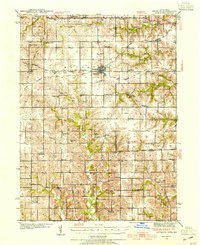
1942 · Seymour
USGS Topo · 1:62,500
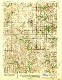
1944 · Seymour
USGS Topo · 1:62,500

1954 · Centerville
USGS Topo · 1:250,000