
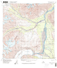
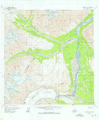
1960 Map of Nabesna A-3
USGS Topo · Published 1966About this map
Chisana Glacier and the Chisana River dominate this high-altitude landscape within the Nutzotin Mountains. The map documents two distinct locations for the settlement of Chisana, including its Former Site located further north at the junction of Cross Creek. This area was historically significant for its remote interior access, evidenced by the Landing Strip and a Trail system following the river valleys.
Find a feature on this map
29 named features on this map. Tap any name to fly to it.
Don’t see what you’re looking for? This feature index may not catch every label — zoom into the map to look around manually.
Map Details
Editions of this 1960 Nabesna A-3 Map
Other maps of this area

1950 · Nabesna
USGS Topo · 1:250,000

1951 · McCarthy
USGS Topo · 1:250,000

1951 · Nabesna
USGS Topo · 1:250,000

1959 · McCarthy D-3
USGS Topo · 1:63,360

1959 · Nabesna A-4
USGS Topo · 1:63,360

1960 · Nabesna B-4
USGS Topo · 1:63,360

1960 · Nabesna A-2
USGS Topo · 1:63,360

1960 · Nabesna B-2
USGS Topo · 1:63,360

1960 · Nabesna
USGS Topo · 1:250,000

1960 · Nabesna B-3
USGS Topo · 1:63,360