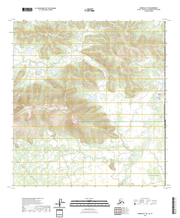
2023 Map of Nabesna B-1 NE
USGS Topo · Published 2023About this map
Tetlin National Wildlife Refuge and the Wrangell-Saint Elias National Preserve meet in this remote borderland of the Southeast Fairbanks Census Area. The terrain is defined by the winding course of Snag Creek, which meanders through a landscape of sharp elevation changes and high mountain ridges. This 2023 survey by the U.S. Geological Survey illustrates the intersection of major conservation boundaries near the international border with Canada. The absence of roads or permanent settlements highlights the wilderness character of these protected interior lands, where hydrology and topography remain the primary features of interest for researchers and environmental historians.
Find a feature on this map
10 named features on this map. Tap any name to fly to it.
Don’t see what you’re looking for? This feature index may not catch every label — zoom into the map to look around manually.
Map Details
Editions of this 2023 Nabesna B-1 NE Map
This is the sole edition of this map. No revisions or reprints were ever made.
Other maps of this area

1950 · Nabesna
USGS Topo · 1:250,000

1951 · Nabesna
USGS Topo · 1:250,000

1955 · Nabesna C-1
USGS Topo · 1:63,360

1960 · Nabesna
USGS Topo · 1:250,000

1960 · Nabesna B-1
USGS Topo · 1:63,360
2016 · Nabesna B-1 NE
USGS Topo · 1:25,000
2016 · Nabesna C-1 SW
USGS Topo · 1:25,000
2016 · Nabesna B-1 SW
USGS Topo · 1:25,000
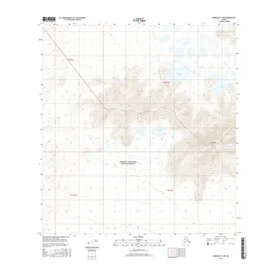
2016 · Nabesna B-1 NW
USGS Topo · 1:25,000
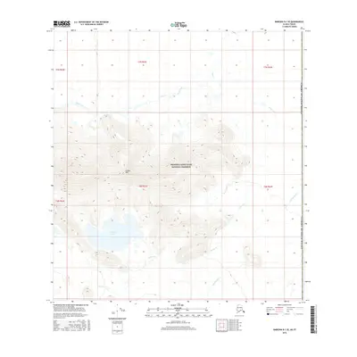
2016 · Nabesna B-1 SE
USGS Topo · 1:25,000