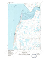
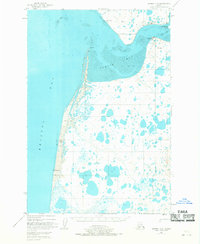
1951 Map of Naknek A-5
USGS Topo · Published 1991About this map
The coastal village of Egegik anchors this 1951 aerial study of the salmon-rich waters where Egegik Bay meets the eastern shore of Bristol Bay. The geography is defined by extensive Tidal Flats and shifting coastal features like South Spit and Goose Pt. Industry and transportation are centered on the water, with a prominent Cannery and a Landing Strip providing the primary connections for the remote community.
Find a feature on this map
18 named features on this map. Tap any name to fly to it.
Don’t see what you’re looking for? This feature index may not catch every label — zoom into the map to look around manually.
Map Details
Editions of this 1951 Naknek A-5 Map
3 editions found
Other maps of this area

1943 · Ugashik
USGS Topo · 1:250,000

1948 · Ugashik
USGS Topo · 1:250,000

1949 · Ugashik
USGS Topo · 1:250,000

1951 · Ugashik D-5 and D-6
USGS Topo · 1:63,360

1951 · Ugashik D-4
USGS Topo · 1:63,360

1951 · Naknek A-5
USGS Topo · 1:63,360

1951 · Naknek A-4
USGS Topo · 1:63,360

1952 · Naknek
USGS Topo · 1:250,000

1952 · Naknek B-4
USGS Topo · 1:63,360

1952 · Naknek B-5
USGS Topo · 1:63,360