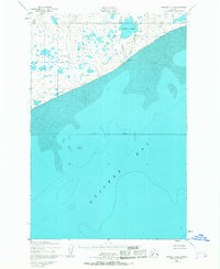
1952 Map of Naknek C-6
USGS Topo · Published 1967About this map
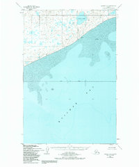
Kvichak Bay dominates the lower portion of this 1952 survey, revealing the intricate shoreline and tidal flats of the Bristol Bay region during the early 1950s. The northern landscape is characterized by a dense network of small lakes and ponds typical of the coastal tundra, anchored by the prominent Supply Lake and its outlet, Supply Creek. On the coast, Lake Point serves as a distinct landmark overlooking expansive stretches of sand and mud flats. The boundary for the Bristol Bay Borough bisects the marine area, reflecting the administrative divisions of the era. This chart, compiled from 1951 aerial photography, captures the natural state of the shoreline and hydrography before significant modern development, making it an essential resource for understanding the historical geography of this section of the Alaska Peninsula.
Find a feature on this map
9 named features on this map. Tap any name to fly to it.
Don’t see what you’re looking for? This feature index may not catch every label — zoom into the map to look around manually.
Map Details
Editions of this 1952 Naknek C-6 Map
3 editions found
Other maps of this area

1945 · Nushagak Bay
USGS Topo · 1:250,000

1949 · Nushagak Bay
USGS Topo · 1:250,000

1951 · Nushagak Bay
USGS Topo · 1:250,000

1952 · Naknek
USGS Topo · 1:250,000

1952 · Naknek C-5
USGS Topo · 1:63,360

1952 · Naknek B-5
USGS Topo · 1:63,360
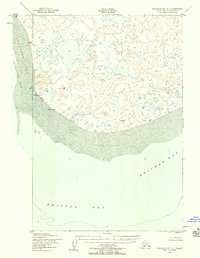
1952 · Nushagak Bay C-1
USGS Topo · 1:63,360

1952 · Naknek C-6
USGS Topo · 1:63,360

1952 · Naknek D-5
USGS Topo · 1:63,360

1952 · Nushagak Bay D-1
USGS Topo · 1:63,360