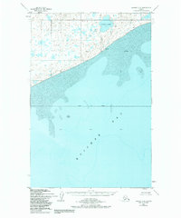
1952 Map of Naknek C-6
USGS Topo · Published 1984About this map
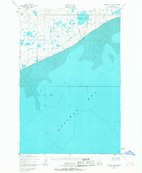
Kvichak Bay dominates the southern half of this landscape, its tidal reaches characterized by shifting Sand and Mud along the coastline. Inland, the topography transitions into a complex network of wetlands and small water bodies typical of the Alaska Peninsula. A solitary Cabin stands near the shore, providing a rare marker of human habitation in this coastal wilderness. The area around Lake Pt and the inland Supply Lake is drained by Supply Creek, illustrating the intricate drainage patterns that define this region before it reaches the waters of Bristol Bay Borough. This survey, based on 1951 aerial photography and field checked in the early 1950s, documents the shoreline and interior marshland as they existed during a period of minimal development.
Find a feature on this map
10 named features on this map. Tap any name to fly to it.
Don’t see what you’re looking for? This feature index may not catch every label — zoom into the map to look around manually.
Map Details
Editions of this 1952 Naknek C-6 Map
3 editions found
Other maps of this area

1945 · Nushagak Bay
USGS Topo · 1:250,000

1949 · Nushagak Bay
USGS Topo · 1:250,000

1951 · Nushagak Bay
USGS Topo · 1:250,000

1952 · Naknek
USGS Topo · 1:250,000

1952 · Naknek C-5
USGS Topo · 1:63,360

1952 · Naknek B-5
USGS Topo · 1:63,360
1952 · Nushagak Bay C-1
USGS Topo · 1:63,360

1952 · Naknek C-6
USGS Topo · 1:63,360

1952 · Naknek D-5
USGS Topo · 1:63,360

1952 · Nushagak Bay D-1
USGS Topo · 1:63,360