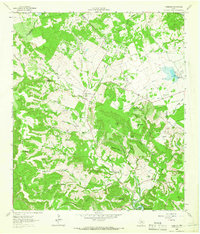
1962 Map of Nameless
USGS Topo · Published 1966About this map
Nameless and the surrounding Hill Country landscape of Travis and Williamson counties appear here as they were in the early 1960s, defined by a network of ranching properties and deeply carved drainages. The map records several named family-owned landmarks and hilltops, including Jess Maynard Hill, Hamilton Hill, and the prominent Post Oak Ridge to the west. Settlement is sparse, represented by Sunset Ranch and Flying K Ranch, along with several small burial grounds such as Round Mountain Cem and Cedar Grove Cem.
Find a feature on this map
64 named features on this map. Tap any name to fly to it.
Don’t see what you’re looking for? This feature index may not catch every label — zoom into the map to look around manually.
Map Details
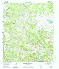
Editions of this 1962 Nameless Map
2 editions found
Other maps of this area

1887 · Blanco
USGS Topo · 1:125,000

1887 · Burnet
USGS Topo · 1:125,000

1893 · Georgetown
USGS Topo · 1:125,000

1893 · Burnet
USGS Topo · 1:125,000

1894 · Blanco
USGS Topo · 1:125,000

1896 · Austin
USGS Topo · 1:125,000

1897 · Austin
USGS Topo · 1:125,000

1903 · Burnet
USGS Topo · 1:125,000

1909 · Burnet
USGS Topo · 1:125,000

1910 · Austin
USGS Topo · 1:125,000