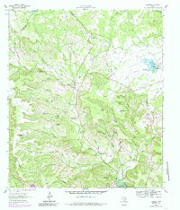
1962 Map of Nameless
USGS Topo · Published 1985About this map
Post Oak Ridge dominates the western portion of this Central Texas landscape, which is defined by a dense network of hollows draining toward the rising waters of Lake Travis. The map captures a transition period for the local cattle industry, with Sunset Ranch and Flying K Ranch established among family landmarks like Jess Maynard Hill and Hamilton Hill. Genealogists will find significant value in the distribution of family burial grounds across the terrain, including Fairview Cem and Huddleston Cem near Sandy Creek. The 1979 photorevisions reveal industrial expansion through various Quarries and a series of borrow pits, while the lower southern reaches show the development of the Sandy Creek Arm of the lake, featuring a Landing Strip and modern infrastructure near Br 760.
Find a feature on this map
63 named features on this map. Tap any name to fly to it.
Don’t see what you’re looking for? This feature index may not catch every label — zoom into the map to look around manually.
Map Details
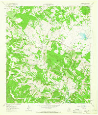
Editions of this 1962 Nameless Map
2 editions found
Other maps of this area

1887 · Blanco
USGS Topo · 1:125,000

1887 · Burnet
USGS Topo · 1:125,000

1893 · Georgetown
USGS Topo · 1:125,000

1893 · Burnet
USGS Topo · 1:125,000

1894 · Blanco
USGS Topo · 1:125,000

1896 · Austin
USGS Topo · 1:125,000

1897 · Austin
USGS Topo · 1:125,000

1903 · Burnet
USGS Topo · 1:125,000

1909 · Burnet
USGS Topo · 1:125,000

1910 · Austin
USGS Topo · 1:125,000