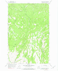
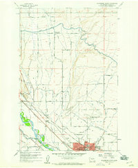
1966 Map of Naneum Canyon
USGS Topo · Published 1978About this map
Naneum Canyon and the high drainage of Naneum Basin dominate this mid-1960s topographic survey of central Washington. The landscape is defined by deep, parallel draws including Coleman Canyon, Dawson Canyon, and Schnebly Canyon, which channel water toward the south from the high elevations of the Wenatchee National Forest. A network of unpaved infrastructure, marked by numerous Jeep Trails and Pack Trails, suggests a landscape utilized for forestry and remote resource management rather than permanent settlement.
Find a feature on this map
32 named features on this map. Tap any name to fly to it.
Don’t see what you’re looking for? This feature index may not catch every label — zoom into the map to look around manually.
Map Details
Editions of this 1966 Naneum Canyon Map
4 editions found
Other maps of this area

1897 · Mount Stuart
USGS Topo · 1:125,000

1902 · Mount Stuart
USGS Topo · 1:125,000

1913 · Wenatchee
USGS Topo · 1:62,500

1915 · Wenatchee
USGS Topo · 1:62,500

1920 · Colockum Pass
USGS Topo · 1:125,000

1922 · Colockum Pass
USGS Topo · 1:125,000

1957 · Wenatchee
USGS Topo · 1:250,000

1958 · Thorp
USGS Topo · 1:62,500
1958 · Ellensburg North
USGS Topo · 1:24,000

1961 · Liberty
USGS Topo · 1:62,500