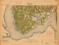
1954 Map of Nanjemoy
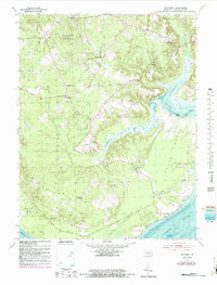
USGS Topo · Published 1983About this map
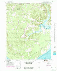
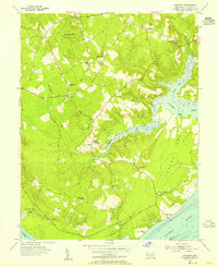
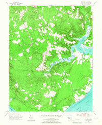
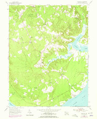
The Doncaster State Forest dominates the northwest corner of this Potomac River landscape, characterizing a rural Maryland peninsula defined by tidal creeks and scattered hamlets. In the mid-1950s, the community of Nanjemoy served as a central hub, supported by the Nanjemoy Sch and the winding course of Nanjemoy Creek. The map records a dense network of country churches including St Ignatius Ch and Durham Ch near Ironsides, and Oak Grove Ch further south near Riverside.
Find a feature on this map
31 named features on this map. Tap any name to fly to it.
Don’t see what you’re looking for? This feature index may not catch every label — zoom into the map to look around manually.
Map Details
Editions of this 1954 Nanjemoy Map
5 editions found
Other maps of this area

1889 · Fredericksburg
USGS Topo · 1:125,000

1890 · Mt. Vernon
USGS Topo · 1:125,000

1891 · Mt. Vernon
USGS Topo · 1:125,000

1892 · Fredericksburg
USGS Topo · 1:125,000

1894 · Fredericksburg
USGS Topo · 1:125,000

1894 · Mt. Vernon
USGS Topo · 1:125,000

1897 · Mt. Vernon
USGS Topo · 1:125,000

1913 · Indian Head
USGS Topo · 1:62,500
1913 · Nanjemoy
USGS Topo · 1:62,500

1923 · Indian Head
USGS Topo · 1:48,000