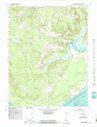
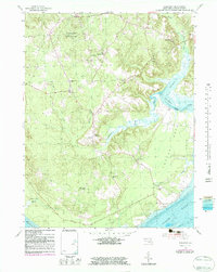
1954 Map of Nanjemoy
USGS Topo · Published 1987About this map
Doncaster State Forest dominates the northwest corner of this coastal landscape, where the northern neck of Charles County meets the wide waters of the Potomac River. The 1954 topography, updated with late 1970s land-use data and 1982 bathymetry, illustrates a rural society centered around crossroad settlements and waterfront access. Historic congregations are well represented, including St Ignatius Ch near the northern border and Durham Ch further south.
Find a feature on this map
32 named features on this map. Tap any name to fly to it.
Don’t see what you’re looking for? This feature index may not catch every label — zoom into the map to look around manually.
Map Details
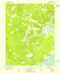
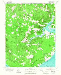
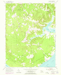
Editions of this 1954 Nanjemoy Map
5 editions found
Other maps of this area

1889 · Fredericksburg
USGS Topo · 1:125,000

1890 · Mt. Vernon
USGS Topo · 1:125,000

1891 · Mt. Vernon
USGS Topo · 1:125,000

1892 · Fredericksburg
USGS Topo · 1:125,000

1894 · Fredericksburg
USGS Topo · 1:125,000

1894 · Mt. Vernon
USGS Topo · 1:125,000

1897 · Mt. Vernon
USGS Topo · 1:125,000

1913 · Indian Head
USGS Topo · 1:62,500

1913 · Nanjemoy
USGS Topo · 1:62,500

1923 · Indian Head
USGS Topo · 1:48,000