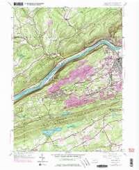
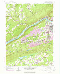
1954 Map of Nanticoke
USGS Topo · Published 1978About this map
The Susquehanna River cuts a deep corridor through this portion of Luzerne County, separating the steep slopes of Shickshinny Mountain and Plymouth from the coal-rich lowlands to the south. The industrial and residential character of the region is evident in the dense street grids of Nanticoke and West Nanticoke, where the Conrail and Delaware and Hudson rail lines trace the riverbanks. South of the river, the landscape transitions into a series of smaller coal-patch and agricultural settlements like Glen Lyon, Waname, and Alden, often clustered near landmarks such as the Hospital and numerous religious sites including Holy Trinity Cem.
Find a feature on this map
59 named features on this map. Tap any name to fly to it.
Don’t see what you’re looking for? This feature index may not catch every label — zoom into the map to look around manually.
Map Details
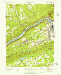
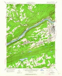
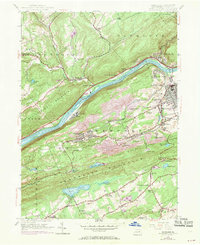
Editions of this 1954 Nanticoke Map
5 editions found
Other maps of this area

1891 · Wilkesbarre
USGS Topo · 1:62,500

1891 · Harveys Lake
USGS Topo · 1:62,500

1893 · Harvey Lake
USGS Topo · 1:62,500

1893 · Pittston
USGS Topo · 1:62,500

1894 · Shickshinny
USGS Topo · 1:62,500

1894 · Wilkesbarre
USGS Topo · 1:62,500

1943 · Scranton
USGS Topo · 1:125,000

1946 · Sybertsville
USGS Topo · 1:31,680

1946 · Nanticoke
USGS Topo · 1:31,680

1946 · Shickshinny
USGS Topo · 1:31,680