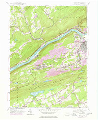
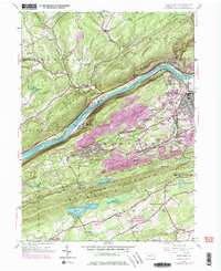
1954 Map of Nanticoke
USGS Topo · Published 1978About this map
Shickshinny Mountain and Penbscot Mountain frame a valley where industrial and religious life centered around the Susquehanna River and the anthracite coal region. The settlement of Nanticoke and the industrial hub at Glen Lyon are surrounded by numerous immigrant parishes and their associated burial grounds, including St Casimirs Cem, St Alberts Cem, and St Michaels Cem. These sites reflect the dense late 19th and early 20th-century settlement patterns of Luzerne County.
Find a feature on this map
59 named features on this map. Tap any name to fly to it.
Don’t see what you’re looking for? This feature index may not catch every label — zoom into the map to look around manually.
Map Details
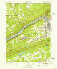
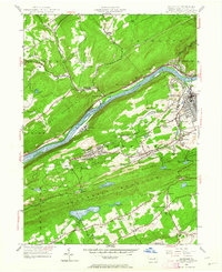
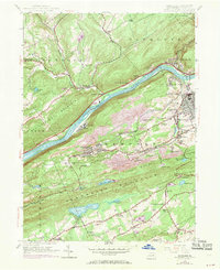
Editions of this 1954 Nanticoke Map
5 editions found
Other maps of this area

1891 · Wilkesbarre
USGS Topo · 1:62,500

1891 · Harveys Lake
USGS Topo · 1:62,500

1893 · Harvey Lake
USGS Topo · 1:62,500

1893 · Pittston
USGS Topo · 1:62,500

1894 · Shickshinny
USGS Topo · 1:62,500

1894 · Wilkesbarre
USGS Topo · 1:62,500

1943 · Scranton
USGS Topo · 1:125,000

1946 · Sybertsville
USGS Topo · 1:31,680

1946 · Nanticoke
USGS Topo · 1:31,680

1946 · Shickshinny
USGS Topo · 1:31,680